Distance to West Point, Nebraska

Calculating Your Route
Just a moment while we process your request...
Location Information
-
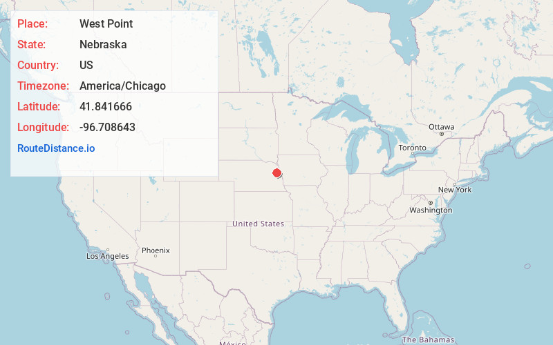
Full AddressWest Point, NE 68788
-
Coordinates41.8416659, -96.7086432
-
LocationWest Point , Nebraska , US
-
TimezoneAmerica/Chicago
-
Current Local Time12:52:46 PM America/ChicagoThursday, June 12, 2025
-
Page Views0
About West Point
West Point is a city in and the county seat of Cuming County, Nebraska, United States. The population was 3,504 at the 2020 census.


Nearby Places
Found 10 places within 50 miles

Fremont
30.2 mi
48.6 km
Fremont, NE 68025
Get directions

Wayne
31.2 mi
50.2 km
Wayne, NE 68787
Get directions

Schuyler
32.7 mi
52.6 km
Schuyler, NE 68661
Get directions

Blair
36.0 mi
57.9 km
Blair, NE 68008
Get directions

Norfolk
38.7 mi
62.3 km
Norfolk, NE 68701
Get directions

Sergeant Bluff
42.7 mi
68.7 km
Sergeant Bluff, IA
Get directions

Wahoo
43.8 mi
70.5 km
Wahoo, NE
Get directions

Columbus
44.0 mi
70.8 km
Columbus, NE 68601
Get directions

Dakota Dunes
46.1 mi
74.2 km
Dakota Dunes, SD 57049
Get directions

Sioux City
47.8 mi
76.9 km
Sioux City, IA
Get directions
Location Links
Local Weather
Weather Information
Coming soon!
Location Map
Static map view of West Point, Nebraska
Browse Places by Distance
Places within specific distances from West Point
Short Distances
Long Distances
Click any distance to see all places within that range from West Point. Distances shown in miles (1 mile ≈ 1.61 kilometers).