Distance to O'Neals, California

Calculating Your Route
Just a moment while we process your request...
Location Information
-
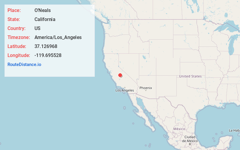
Full AddressO'Neals, CA 93645
-
Coordinates37.126968, -119.6955277
-
LocationO'Neals , California , US
-
TimezoneAmerica/Los_Angeles
-
Current Local Time6:42:16 AM America/Los_AngelesTuesday, June 24, 2025
-
Page Views0
About O'Neals
O'Neals is an unincorporated community in Madera County, California. It is located on the Willow Creek 13 miles southeast of Raymond, at an elevation of 1309 feet.
The O'Neals post office opened in 1887. The name honored Charles O'Neal, merchant and first postmaster.
Nearby Places
Found 10 places within 50 miles

Hildreth
3.7 mi
6.0 km
Hildreth, CA 93626
Get directions
Indian Springs
5.5 mi
8.9 km
Indian Springs, CA 93626
Get directions

Yosemite Lakes
6.1 mi
9.8 km
Yosemite Lakes, CA
Get directions

Millerton Lake
8.5 mi
13.7 km
Millerton Lake, California 93626
Get directions

Coarsegold
9.3 mi
15.0 km
Coarsegold, CA 93614
Get directions

Friant
9.7 mi
15.6 km
Friant, CA 93626
Get directions

Central California
10.7 mi
17.2 km
Central California, CA
Get directions

Prather
11.8 mi
19.0 km
Prather, CA 93651
Get directions

Auberry
12.0 mi
19.3 km
Auberry, CA
Get directions

North Fork
12.5 mi
20.1 km
North Fork, CA
Get directions
Location Links
Local Weather
Weather Information
Coming soon!
Location Map
Static map view of O'Neals, California
Browse Places by Distance
Places within specific distances from O'Neals
Short Distances
Long Distances
Click any distance to see all places within that range from O'Neals. Distances shown in miles (1 mile ≈ 1.61 kilometers).