Distance to and from Opa-locka, Florida
Opa-locka, FL
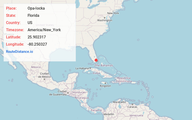
Opa-locka
Florida
US
America/New_York
Location Information
-
Full AddressOpa-locka, FL
-
Coordinates25.9023168, -80.2503271
-
LocationOpa-locka , Florida , US
-
TimezoneAmerica/New_York
-
Current Local Time11:19:08 AM America/New_YorkSaturday, May 3, 2025
-
Website
-
Page Views0
Directions to Nearest Cities
About Opa-locka
Opa-locka is a city in Miami-Dade County, Florida, United States. Spanning roughly 4.1 square miles, it is part of the Miami metropolitan area of South Florida. As of the 2020 Census, the population was 16,463, up from 15,219 in 2010.


Nearby Places
Found 10 places within 50 miles

Biscayne Gardens
2.5 mi
4.0 km
Biscayne Gardens, FL
Get directions

Miami Gardens
2.8 mi
4.5 km
Miami Gardens, FL
Get directions

Miami Lakes
3.7 mi
6.0 km
Miami Lakes, FL
Get directions

North Miami
4.0 mi
6.4 km
North Miami, FL
Get directions

Country Club
5.2 mi
8.4 km
Country Club, FL
Get directions

Hialeah Gardens
5.3 mi
8.5 km
Hialeah Gardens, FL
Get directions

Brownsville
5.5 mi
8.9 km
Brownsville, FL 33142
Get directions

Hialeah
5.6 mi
9.0 km
Hialeah, FL
Get directions

Ives Estates
6.2 mi
10.0 km
Ives Estates, FL 33179
Get directions

Miramar
6.7 mi
10.8 km
Miramar, FL
Get directions
Biscayne Gardens
2.5 mi
4.0 km
Biscayne Gardens, FL
Miami Gardens
2.8 mi
4.5 km
Miami Gardens, FL
Miami Lakes
3.7 mi
6.0 km
Miami Lakes, FL
North Miami
4.0 mi
6.4 km
North Miami, FL
Country Club
5.2 mi
8.4 km
Country Club, FL
Hialeah Gardens
5.3 mi
8.5 km
Hialeah Gardens, FL
Brownsville
5.5 mi
8.9 km
Brownsville, FL 33142
Hialeah
5.6 mi
9.0 km
Hialeah, FL
Ives Estates
6.2 mi
10.0 km
Ives Estates, FL 33179
Miramar
6.7 mi
10.8 km
Miramar, FL
Location Links
Local Weather
Weather Information
Coming soon!
Location Map
Static map view of Opa-locka, Florida
Browse Places by Distance
Places within specific distances from Opa-locka
Short Distances
Long Distances
Click any distance to see all places within that range from Opa-locka. Distances shown in miles (1 mile ≈ 1.61 kilometers).