Distance to Oraibi, Arizona

Calculating Your Route
Just a moment while we process your request...
Location Information
-
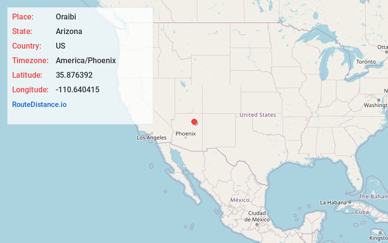
Full AddressOraibi, Kykotsmovi Village, AZ 86039
-
Coordinates35.8763922, -110.6404148
-
LocationKykotsmovi Village , Arizona , US
-
TimezoneAmerica/Phoenix
-
Current Local Time12:48:05 PM America/PhoenixSunday, June 22, 2025
-
Page Views0
About Oraibi
Oraibi, also referred to as Old Oraibi, is a Hopi village in Navajo County, Arizona, United States, in the northeastern part of the state. Known as Orayvi by the native inhabitants, it is on Third Mesa on the Hopi Reservation near Kykotsmovi Village.
Nearby Places
Found 10 places within 50 miles

Kykotsmovi Village
1.0 mi
1.6 km
Kykotsmovi Village, AZ
Get directions

Bacavi
3.5 mi
5.6 km
Bacavi, Hotevilla-Bacavi, AZ 86030
Get directions
Shongopovi
7.2 mi
11.6 km
Shongopovi, AZ 86043
Get directions

Second Mesa
9.5 mi
15.3 km
Second Mesa, AZ 86043
Get directions

First Mesa
14.8 mi
23.8 km
First Mesa, AZ 86042
Get directions
Hard Rocks
17.9 mi
28.8 km
Hard Rocks, AZ
Get directions

Keams Canyon
25.3 mi
40.7 km
Keams Canyon, AZ 86034
Get directions

Pinon
27.9 mi
44.9 km
Pinon, AZ 86510
Get directions
Seba Dalkai
28.2 mi
45.4 km
Seba Dalkai, AZ 86047
Get directions
Jeddito
29.1 mi
46.8 km
Jeddito, AZ 86034
Get directions
Location Links
Local Weather
Weather Information
Coming soon!
Location Map
Static map view of Oraibi, Arizona
Browse Places by Distance
Places within specific distances from Oraibi
Short Distances
Long Distances
Click any distance to see all places within that range from Oraibi. Distances shown in miles (1 mile ≈ 1.61 kilometers).