Distance to Orange Bend, Florida

Calculating Your Route
Just a moment while we process your request...
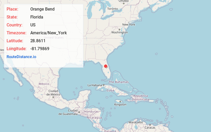
Location Information
-
Full AddressOrange Bend, FL 34788
-
Coordinates28.8610997, -81.7986897
-
LocationFlorida , US
-
TimezoneAmerica/New_York
-
Current Local Time10:10:42 PM America/New_YorkThursday, June 5, 2025
-
Page Views0
About Orange Bend
Orange Bend is an unincorporated community in Lake County, Florida, United States. The community is located on County Road 44 and is part of the Orlando–Kissimmee Metropolitan Statistical Area.
Nearby Places
Found 10 places within 50 miles

Silver Lake
1.3 mi
2.1 km
Silver Lake, FL 34788
Get directions

Lisbon
1.7 mi
2.7 km
Lisbon, FL 34788
Get directions

Leesburg
5.9 mi
9.5 km
Leesburg, FL
Get directions

Tavares
5.9 mi
9.5 km
Tavares, FL
Get directions

Eustis
6.9 mi
11.1 km
Eustis, FL
Get directions

Lady Lake
8.5 mi
13.7 km
Lady Lake, FL
Get directions

Yalaha
8.5 mi
13.7 km
Yalaha, FL
Get directions

Umatilla
9.3 mi
15.0 km
Umatilla, FL
Get directions

Okahumpka
9.9 mi
15.9 km
Okahumpka, FL 34762
Get directions

Mt Dora
10.2 mi
16.4 km
Mt Dora, FL 32757
Get directions
Location Links
Local Weather
Weather Information
Coming soon!
Location Map
Static map view of Orange Bend, Florida
Browse Places by Distance
Places within specific distances from Orange Bend
Short Distances
Long Distances
Click any distance to see all places within that range from Orange Bend. Distances shown in miles (1 mile ≈ 1.61 kilometers).