Distance to Oregon City, California

Calculating Your Route
Just a moment while we process your request...
Location Information
-
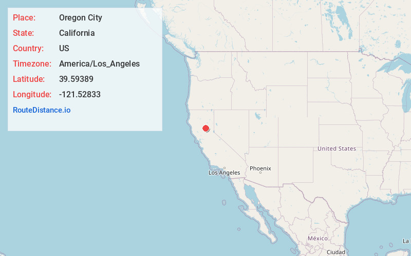
Full AddressOregon City, CA 95965
-
Coordinates39.59389, -121.52833
-
LocationOregon City , California , US
-
TimezoneAmerica/Los_Angeles
-
Current Local Time9:48:39 PM America/Los_AngelesSaturday, June 21, 2025
-
Page Views0
About Oregon City
Oregon City, formerly Bloomingdale and Hengy, is a ghost town located between Oroville and Cherokee in Butte County, California. One of the first mining camps in the county, it was established in the autumn of 1848 by a party of Oregonians, who came to California over the Applegate and Lassen trails.


Nearby Places
Found 10 places within 50 miles

Elsey
3.6 mi
5.8 km
Elsey, CA 95965
Get directions

Cherokee
3.7 mi
6.0 km
Cherokee, CA 95965
Get directions
Kramm
4.1 mi
6.6 km
Kramm, CA 95965
Get directions

Oroville
5.8 mi
9.3 km
Oroville, CA
Get directions
Kelly Ridge
5.9 mi
9.5 km
Kelly Ridge, CA 95966
Get directions

Oroville East
6.3 mi
10.1 km
Oroville East, CA 95966
Get directions

Thermalito
6.5 mi
10.5 km
Thermalito, CA 95965
Get directions

Butte Valley
6.8 mi
10.9 km
Butte Valley, CA 95965
Get directions

South Oroville
8.0 mi
12.9 km
South Oroville, CA 95966
Get directions

Berry Creek
8.2 mi
13.2 km
Berry Creek, CA
Get directions
Location Links
Local Weather
Weather Information
Coming soon!
Location Map
Static map view of Oregon City, California
Browse Places by Distance
Places within specific distances from Oregon City
Short Distances
Long Distances
Click any distance to see all places within that range from Oregon City. Distances shown in miles (1 mile ≈ 1.61 kilometers).