Distance to Oriole, Kentucky

Calculating Your Route
Just a moment while we process your request...
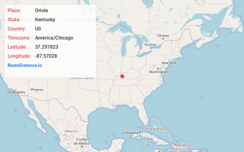
Location Information
-
Full AddressOriole, KY 42431
-
Coordinates37.297823, -87.5702798
-
LocationKentucky , US
-
TimezoneAmerica/Chicago
-
Current Local Time5:12:42 PM America/ChicagoThursday, June 12, 2025
-
Page Views0
About Oriole
Oriole is a place located in Hopkins County, Kentucky, United States. The origin of the name Oriole is unknown, and the place never had a post-office. Oriole is located four miles south-west of Madisonville, on Clear Creek.
Nearby Places
Found 10 places within 50 miles

Pee Vee
1.8 mi
2.9 km
Pee Vee, KY 42431
Get directions
Richland
2.0 mi
3.2 km
Richland, KY 42431
Get directions
Hecla
2.5 mi
4.0 km
Hecla, KY 42410
Get directions
Wesco
3.2 mi
5.1 km
Wesco, KY 42431
Get directions
Dozier Heights
3.4 mi
5.5 km
Dozier Heights, KY 42431
Get directions
Victoria
3.5 mi
5.6 km
Victoria, Madisonville, KY 42431
Get directions

Earlington
3.6 mi
5.8 km
Earlington, KY
Get directions
Mitchell Hill
4.2 mi
6.8 km
Mitchell Hill, Madisonville, KY 42431
Get directions

Madisonville
4.4 mi
7.1 km
Madisonville, KY 42431
Get directions
Grapevine
4.6 mi
7.4 km
Grapevine, KY 42431
Get directions
Location Links
Local Weather
Weather Information
Coming soon!
Location Map
Static map view of Oriole, Kentucky
Browse Places by Distance
Places within specific distances from Oriole
Short Distances
Long Distances
Click any distance to see all places within that range from Oriole. Distances shown in miles (1 mile ≈ 1.61 kilometers).