Distance to Orleans, Indiana

Calculating Your Route
Just a moment while we process your request...
Location Information
-
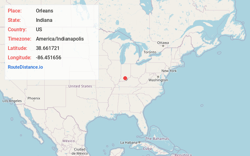
Full AddressOrleans, IN 47452
-
Coordinates38.6617205, -86.4516557
-
LocationOrleans , Indiana , US
-
TimezoneAmerica/Indianapolis
-
Website
-
Page Views0
About Orleans
Orleans is a town in Orleans Township, Orange County, in the U.S. state of Indiana. The population was 2,142 at the 2010 census.


Nearby Places
Found 10 places within 50 miles

Mitchell
5.1 mi
8.2 km
Mitchell, IN 47446
Get directions

Paoli
7.3 mi
11.7 km
Paoli, IN 47454
Get directions

Bedford
13.9 mi
22.4 km
Bedford, IN 47421
Get directions

Salem
19.3 mi
31.1 km
Salem, IN 47167
Get directions

Loogootee
25.0 mi
40.2 km
Loogootee, IN 47553
Get directions

Brownstown
26.7 mi
43.0 km
Brownstown, IN 47220
Get directions

Sanders
29.1 mi
46.8 km
Sanders, Smithville-Sanders, IN 47401
Get directions

Jasper
31.9 mi
51.3 km
Jasper, IN
Get directions

Austin
35.3 mi
56.8 km
Austin, IN
Get directions

Bloomington
35.4 mi
57.0 km
Bloomington, IN
Get directions
Location Links
Local Weather
Weather Information
Coming soon!
Location Map
Static map view of Orleans, Indiana
Browse Places by Distance
Places within specific distances from Orleans
Short Distances
Long Distances
Click any distance to see all places within that range from Orleans. Distances shown in miles (1 mile ≈ 1.61 kilometers).