Distance to Orleans, Massachusetts

Calculating Your Route
Just a moment while we process your request...
Location Information
-
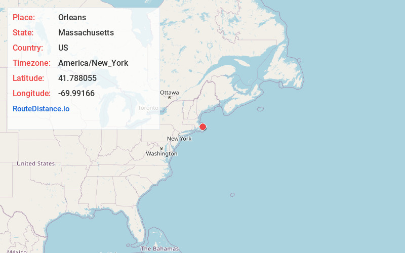
Full AddressOrleans, MA
-
Coordinates41.7880547, -69.9916601
-
LocationOrleans , Massachusetts , US
-
TimezoneAmerica/New_York
-
Current Local Time10:52:32 PM America/New_YorkWednesday, June 18, 2025
-
Website
-
Page Views0
About Orleans
Orleans is a town in Barnstable County, Massachusetts, United States, situated along Cape Cod. The population was 6,307 at the 2020 census.


Nearby Places
Found 10 places within 50 miles

Brewster
5.1 mi
8.2 km
Brewster, MA
Get directions

Chatham
7.4 mi
11.9 km
Chatham, MA
Get directions

Harwich
8.0 mi
12.9 km
Harwich, MA
Get directions

Dennis
11.1 mi
17.9 km
Dennis, MA
Get directions

Yarmouth
14.1 mi
22.7 km
Yarmouth, MA
Get directions

Barnstable
17.5 mi
28.2 km
Barnstable, MA
Get directions

Sandwich
26.2 mi
42.2 km
Sandwich, MA
Get directions

Mashpee
27.0 mi
43.5 km
Mashpee, MA
Get directions

Bourne
31.6 mi
50.9 km
Bourne, MA
Get directions

Nantucket
35.2 mi
56.6 km
Nantucket, MA
Get directions
Location Links
Local Weather
Weather Information
Coming soon!
Location Map
Static map view of Orleans, Massachusetts
Browse Places by Distance
Places within specific distances from Orleans
Short Distances
Long Distances
Click any distance to see all places within that range from Orleans. Distances shown in miles (1 mile ≈ 1.61 kilometers).