Distance to Orleans Flat, California

Calculating Your Route
Just a moment while we process your request...
Location Information
-
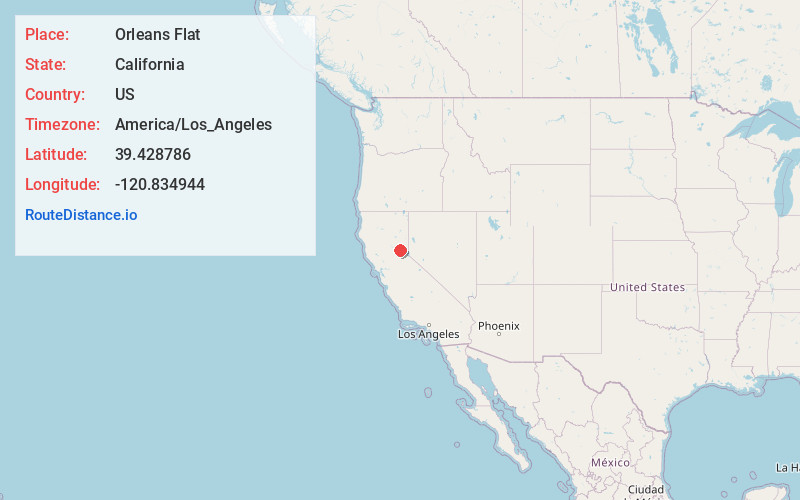
Full AddressOrleans Flat, CA 95959
-
Coordinates39.4287856, -120.8349443
-
LocationOrleans Flat , California , US
-
TimezoneAmerica/Los_Angeles
-
Current Local Time4:51:12 AM America/Los_AngelesTuesday, June 3, 2025
-
Page Views0
About Orleans Flat
Orleans Flat was a historic mining town located on the San Juan Ridge about 20 miles northeast of Nevada City, California and about 5 miles northeast of North Bloomfield, California. The town was about 1 mile south of the Middle Yuba River at an elevation of about 4200 ft.
Nearby Places
Found 10 places within 50 miles

Moores Flat
1.1 mi
1.8 km
Moores Flat, CA 95959
Get directions
Plumbago
1.9 mi
3.1 km
Plumbago, CA 95959
Get directions
Alleghany
2.8 mi
4.5 km
Alleghany, CA 95910
Get directions
Graniteville
5.1 mi
8.2 km
Graniteville, CA 95959
Get directions

Washington
5.2 mi
8.4 km
Washington, CA 95986
Get directions

North Bloomfield
5.4 mi
8.7 km
North Bloomfield, CA 95959
Get directions
Gaston
5.6 mi
9.0 km
Gaston, CA 95959
Get directions
Marsh Mill
7.2 mi
11.6 km
Marsh Mill, CA 95959
Get directions

Lake City
7.4 mi
11.9 km
Lake City, CA 95959
Get directions
Goodyears Bar
8.3 mi
13.4 km
Goodyears Bar, CA 95944
Get directions
Location Links
Local Weather
Weather Information
Coming soon!
Location Map
Static map view of Orleans Flat, California
Browse Places by Distance
Places within specific distances from Orleans Flat
Short Distances
Long Distances
Click any distance to see all places within that range from Orleans Flat. Distances shown in miles (1 mile ≈ 1.61 kilometers).