Distance to Oswego, Montana

Calculating Your Route
Just a moment while we process your request...
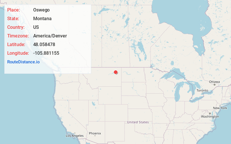
Location Information
-
Full AddressOswego, MT 59201
-
Coordinates48.0584783, -105.8811548
-
LocationOswego , Montana , US
-
TimezoneAmerica/Denver
-
Current Local Time7:47:30 AM America/DenverSaturday, June 7, 2025
-
Page Views0
About Oswego
Oswego is an unincorporated community in Valley County, Montana, United States. It is located along U.S. Route 2 between the cities of Frazer and Wolf Point. Oswego is located on the Fort Peck Indian Reservation.
Nearby Places
Found 10 places within 50 miles

Frazer
7.4 mi
11.9 km
Frazer, MT
Get directions

Wolf Point
11.3 mi
18.2 km
Wolf Point, MT 59201
Get directions

Macon
17.1 mi
27.5 km
Macon, MT 59201
Get directions
Nashua
22.5 mi
36.2 km
Nashua, MT 59248
Get directions

Vida
23.8 mi
38.3 km
Vida, MT 59274
Get directions

Fort Peck
26.4 mi
42.5 km
Fort Peck, MT 59248
Get directions
Nickwall
26.5 mi
42.6 km
Nickwall, MT 59255
Get directions

Poplar
31.7 mi
51.0 km
Poplar, MT 59255
Get directions

Glasgow
36.1 mi
58.1 km
Glasgow, MT 59230
Get directions
Sprole
37.9 mi
61.0 km
Sprole, MT 59255
Get directions
Location Links
Local Weather
Weather Information
Coming soon!
Location Map
Static map view of Oswego, Montana
Browse Places by Distance
Places within specific distances from Oswego
Short Distances
Long Distances
Click any distance to see all places within that range from Oswego. Distances shown in miles (1 mile ≈ 1.61 kilometers).