Distance to Ottawa County, Oklahoma

Calculating Your Route
Just a moment while we process your request...
Location Information
-
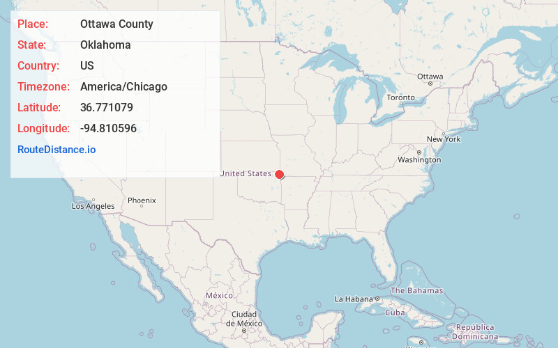
Full AddressOttawa County, OK
-
Coordinates36.7710787, -94.8105955
-
LocationOklahoma , US
-
TimezoneAmerica/Chicago
-
Current Local Time4:53:31 PM America/ChicagoSaturday, May 31, 2025
-
Page Views0
About Ottawa County
Ottawa County is a county located in the northeastern corner of the U.S. state of Oklahoma. As of the 2020 census, the population was 30,285. Its county seat is Miami. The county was named for the Ottawa Tribe of Oklahoma.


Nearby Places
Found 10 places within 50 miles

Fairland
2.5 mi
4.0 km
Fairland, OK 74343
Get directions

Wyandotte
5.0 mi
8.0 km
Wyandotte, OK 74370
Get directions

Oseuma
5.3 mi
8.5 km
Oseuma, OK 74343
Get directions

Narcissa
6.8 mi
10.9 km
Narcissa, OK 74354
Get directions

Dotyville
7.7 mi
12.4 km
Dotyville, OK 74354
Get directions

Copeland
8.0 mi
12.9 km
Copeland, OK
Get directions

Miami
8.0 mi
12.9 km
Miami, OK 74354
Get directions
Turkey Ford
9.8 mi
15.8 km
Turkey Ford, OK
Get directions

Afton
10.0 mi
16.1 km
Afton, OK 74331
Get directions
North Miami
10.8 mi
17.4 km
North Miami, OK
Get directions
Location Links
Local Weather
Weather Information
Coming soon!
Location Map
Static map view of Ottawa County, Oklahoma
Browse Places by Distance
Places within specific distances from Ottawa County
Short Distances
Long Distances
Click any distance to see all places within that range from Ottawa County. Distances shown in miles (1 mile ≈ 1.61 kilometers).