Distance to Wyandotte, Oklahoma

Calculating Your Route
Just a moment while we process your request...
Location Information
-
Full AddressWyandotte, OK 74370
-
Coordinates36.7934028, -94.7252284
-
LocationWyandotte , Oklahoma , US
-
TimezoneAmerica/Chicago
-
Current Local Time12:15:31 AM America/ChicagoMonday, June 16, 2025
-
Page Views0
About Wyandotte
Wyandotte is a town in Ottawa County, Oklahoma, United States. The population was 333 at the 2010 census, a decline of 8.26 percent from the figure of 363 recorded in 2000. The town is the tribal headquarters of the Wyandotte Nation of Oklahoma, for which the town was named.

Nearby Places
Found 10 places within 50 miles

Seneca
7.1 mi
11.4 km
Seneca, MO 64865
Get directions

Fairland
7.4 mi
11.9 km
Fairland, OK 74343
Get directions

Miami
10.1 mi
16.3 km
Miami, OK 74354
Get directions

Copeland
11.3 mi
18.2 km
Copeland, OK
Get directions

Quapaw
11.7 mi
18.8 km
Quapaw, OK 74363
Get directions

Commerce
12.7 mi
20.4 km
Commerce, OK
Get directions

Grove
14.0 mi
22.5 km
Grove, OK 74344
Get directions

Afton
14.9 mi
24.0 km
Afton, OK 74331
Get directions

Loma Linda
15.6 mi
25.1 km
Loma Linda, MO
Get directions

Baxter Springs
15.9 mi
25.6 km
Baxter Springs, KS 66713
Get directions
Location Links
Local Weather
Weather Information
Coming soon!
Location Map
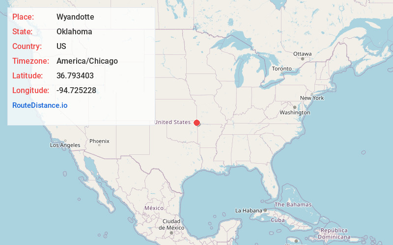
Static map view of Wyandotte, Oklahoma
Browse Places by Distance
Places within specific distances from Wyandotte
Short Distances
Long Distances
Click any distance to see all places within that range from Wyandotte. Distances shown in miles (1 mile ≈ 1.61 kilometers).