Distance to Ottawa, Ohio

Calculating Your Route
Just a moment while we process your request...
Location Information
-
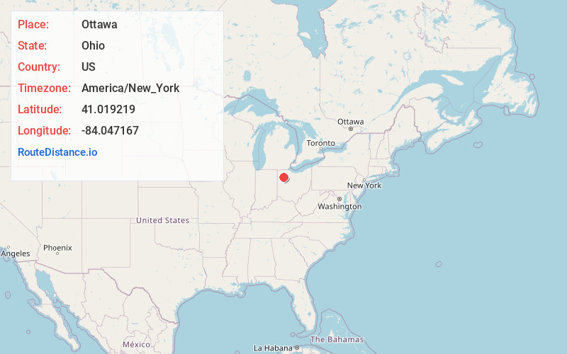
Full AddressOttawa, OH 45875
-
Coordinates41.0192185, -84.0471666
-
LocationOttawa , Ohio , US
-
TimezoneAmerica/New_York
-
Current Local Time8:06:20 AM America/New_YorkSunday, June 1, 2025
-
Website
-
Page Views0
About Ottawa
Ottawa is a village and the county seat of Putnam County, Ohio, United States. It is located about 51 miles southwest of Toledo. The population is 4,456 as of the 2020 census.


Nearby Places
Found 10 places within 50 miles

Lima
19.4 mi
31.2 km
Lima, OH
Get directions

Delphos
19.6 mi
31.5 km
Delphos, OH 45833
Get directions

Findlay
20.7 mi
33.3 km
Findlay, OH 45840
Get directions

Ada
20.9 mi
33.6 km
Ada, OH 45810
Get directions

Fort Shawnee
23.5 mi
37.8 km
Fort Shawnee, OH
Get directions

Defiance
24.4 mi
39.3 km
Defiance, OH 43512
Get directions

Napoleon
26.1 mi
42.0 km
Napoleon, OH 43545
Get directions

Van Wert
29.9 mi
48.1 km
Van Wert, OH 45891
Get directions

Bowling Green
32.0 mi
51.5 km
Bowling Green, OH
Get directions

Wapakoneta
32.1 mi
51.7 km
Wapakoneta, OH 45895
Get directions
Location Links
Local Weather
Weather Information
Coming soon!
Location Map
Static map view of Ottawa, Ohio
Browse Places by Distance
Places within specific distances from Ottawa
Short Distances
Long Distances
Click any distance to see all places within that range from Ottawa. Distances shown in miles (1 mile ≈ 1.61 kilometers).