Distance to Otter, Montana

Calculating Your Route
Just a moment while we process your request...
Location Information
-
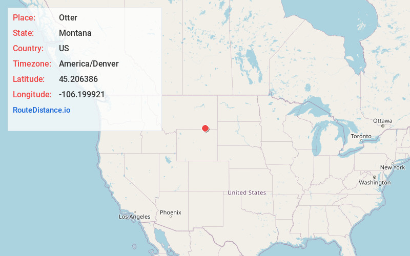
Full AddressOtter, MT 59003
-
Coordinates45.2063858, -106.1999211
-
LocationOtter , Montana , US
-
TimezoneAmerica/Denver
-
Current Local Time4:23:30 PM America/DenverTuesday, June 3, 2025
-
Page Views0
About Otter
Otter is an unincorporated community in southwestern Powder River County, Montana, United States, in the Custer National Forest. It lies along local roads southwest of the town of Broadus, the county seat of Powder River County. Its elevation is 3,484 feet.
Nearby Places
Found 10 places within 50 miles

Sayle
10.0 mi
16.1 km
Sayle, MT 59062
Get directions
Birney
17.3 mi
27.8 km
Birney, MT 59012
Get directions

Ashland
28.0 mi
45.1 km
Ashland, MT 59003
Get directions

Lame Deer
36.6 mi
58.9 km
Lame Deer, MT
Get directions
Arvada
38.3 mi
61.6 km
Arvada, WY 82831
Get directions
Muddy
39.5 mi
63.6 km
Muddy, MT
Get directions
Verona
39.6 mi
63.7 km
Verona, WY 82832
Get directions
Clearmont
40.1 mi
64.5 km
Clearmont, WY 82835
Get directions
Olive
40.4 mi
65.0 km
Olive, MT 59317
Get directions

Broadus
41.8 mi
67.3 km
Broadus, MT
Get directions
Location Links
Local Weather
Weather Information
Coming soon!
Location Map
Static map view of Otter, Montana
Browse Places by Distance
Places within specific distances from Otter
Short Distances
Long Distances
Click any distance to see all places within that range from Otter. Distances shown in miles (1 mile ≈ 1.61 kilometers).