Distance to Ovett, Mississippi

Calculating Your Route
Just a moment while we process your request...
Location Information
-
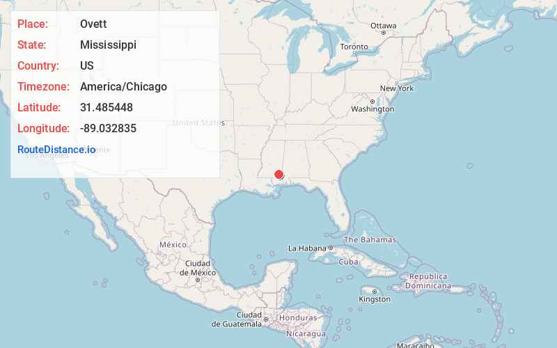
Full AddressOvett, MS 39464
-
Coordinates31.4854475, -89.0328346
-
LocationOvett , Mississippi , US
-
TimezoneAmerica/Chicago
-
Current Local Time8:41:19 AM America/ChicagoTuesday, May 20, 2025
-
Page Views0
About Ovett
Ovett is a census-designated place and unincorporated community in southeastern Jones County, Mississippi. Ovett is part of the Laurel Micropolitan Statistical Area.
Nearby Places
Found 10 places within 50 miles

Runnelstown
8.9 mi
14.3 km
Runnelstown, MS 39465
Get directions

Richton
10.9 mi
17.5 km
Richton, MS 39476
Get directions

Ellisville
12.6 mi
20.3 km
Ellisville, MS 39437
Get directions
Eastabuchie
15.2 mi
24.5 km
Eastabuchie, MS
Get directions

Laurel
15.5 mi
24.9 km
Laurel, MS
Get directions

Petal
16.5 mi
26.6 km
Petal, MS 39465
Get directions
Glendale
18.2 mi
29.3 km
Glendale, MS 39401
Get directions

Hattiesburg
18.7 mi
30.1 km
Hattiesburg, MS
Get directions
New Augusta
19.5 mi
31.4 km
New Augusta, MS 39462
Get directions
Sandersville
20.8 mi
33.5 km
Sandersville, MS
Get directions
Location Links
Local Weather
Weather Information
Coming soon!
Location Map
Static map view of Ovett, Mississippi
Browse Places by Distance
Places within specific distances from Ovett
Short Distances
Long Distances
Click any distance to see all places within that range from Ovett. Distances shown in miles (1 mile ≈ 1.61 kilometers).