Distance to Owens Township, Minnesota

Calculating Your Route
Just a moment while we process your request...
Location Information
-
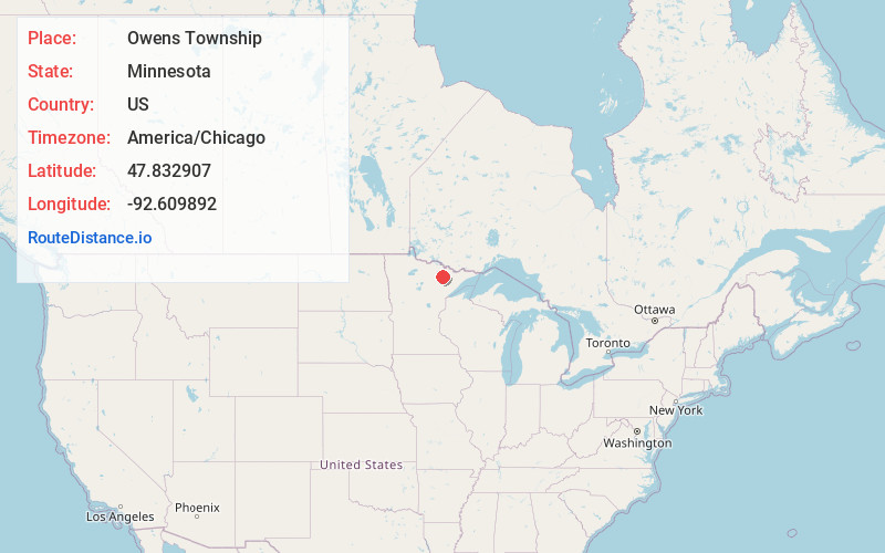
Full AddressOwens Township, MN 55723
-
Coordinates47.832907, -92.6098924
-
LocationOwens Township , Minnesota , US
-
TimezoneAmerica/Chicago
-
Current Local Time8:37:52 PM America/ChicagoThursday, June 12, 2025
-
Page Views0
About Owens Township
Owens Township is a township in Saint Louis County, Minnesota, United States. The population was 263 at the 2010 census.
U.S. Highway 53 serves as a main route in the township. Other routes include Saint Louis County Road 115, County Road 24, County Road 78, and Johnson Road.
Nearby Places
Found 10 places within 50 miles

Leander
2.8 mi
4.5 km
Leander, MN 55723
Get directions

Cook
3.9 mi
6.3 km
Cook, MN 55723
Get directions
Angora
4.2 mi
6.8 km
Angora, MN 55703
Get directions
Sherman Corner
4.3 mi
6.9 km
Sherman Corner, MN 55703
Get directions
Angora Township
5.8 mi
9.3 km
Angora Township, MN
Get directions
Wakemup
6.5 mi
10.5 km
Wakemup, MN 55723
Get directions
Idington
7.2 mi
11.6 km
Idington, MN 55703
Get directions
Field Township
7.3 mi
11.7 km
Field Township, MN
Get directions

Beatty Township
8.2 mi
13.2 km
Beatty Township, MN
Get directions
Haley
8.3 mi
13.4 km
Haley, MN 55723
Get directions
Location Links
Local Weather
Weather Information
Coming soon!
Location Map
Static map view of Owens Township, Minnesota
Browse Places by Distance
Places within specific distances from Owens Township
Short Distances
Long Distances
Click any distance to see all places within that range from Owens Township. Distances shown in miles (1 mile ≈ 1.61 kilometers).