Distance to Owls Head, Maine

Calculating Your Route
Just a moment while we process your request...
Location Information
-
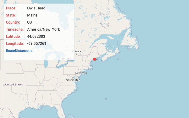
Full AddressOwls Head, ME
-
Coordinates44.082303, -69.0572612
-
LocationOwls Head , Maine , US
-
TimezoneAmerica/New_York
-
Current Local Time9:55:04 PM America/New_YorkSunday, June 1, 2025
-
Page Views0
About Owls Head
Owls Head is a town in Knox County, Maine, United States. The population was 1,504 at the 2020 census. A resort and fishing area, the community is home to the Knox County Regional Airport. It includes the village of Ash Point.


Nearby Places
Found 10 places within 50 miles

Rockland
3.0 mi
4.8 km
Rockland, ME
Get directions

Thomaston
6.2 mi
10.0 km
Thomaston, ME
Get directions

Rockport
7.6 mi
12.2 km
Rockport, ME
Get directions

Camden
8.8 mi
14.2 km
Camden, ME
Get directions

Warren
10.0 mi
16.1 km
Warren, ME 04864
Get directions

St. George
11.1 mi
17.9 km
St. George, ME
Get directions

Hope
13.6 mi
21.9 km
Hope, ME
Get directions

Lincolnville
14.0 mi
22.5 km
Lincolnville, ME 04849
Get directions

Union
15.5 mi
24.9 km
Union, ME
Get directions

Waldoboro
15.8 mi
25.4 km
Waldoboro, ME 04572
Get directions
Location Links
Local Weather
Weather Information
Coming soon!
Location Map
Static map view of Owls Head, Maine
Browse Places by Distance
Places within specific distances from Owls Head
Short Distances
Long Distances
Click any distance to see all places within that range from Owls Head. Distances shown in miles (1 mile ≈ 1.61 kilometers).