Distance to Rockland, Maine

Calculating Your Route
Just a moment while we process your request...
Location Information
-
Full AddressRockland, ME
-
Coordinates44.1036914, -69.1089293
-
LocationRockland , Maine , US
-
TimezoneAmerica/New_York
-
Current Local Time6:37:26 AM America/New_YorkFriday, June 6, 2025
-
Page Views0
About Rockland
Rockland is a city in and the county seat of Knox County, Maine, United States. As of the 2020 census, the town population was 6,936. The city is a popular tourist destination. It is a departure point for the Maine State Ferry Service to the islands of Penobscot Bay: Vinalhaven, North Haven and Matinicus.


Nearby Places
Found 8 places within 50 miles

Augusta
35.8 mi
57.6 km
Augusta, ME 04330
Get directions

Bath
37.8 mi
60.8 km
Bath, ME 04530
Get directions

Winslow
39.9 mi
64.2 km
Winslow, ME 04901
Get directions

Waterville
40.3 mi
64.9 km
Waterville, ME
Get directions

Brunswick
44.5 mi
71.6 km
Brunswick, ME 04011
Get directions

Ellsworth
45.3 mi
72.9 km
Ellsworth, ME 04605
Get directions

Hampden
46.3 mi
74.5 km
Hampden, ME
Get directions

Lisbon
49.7 mi
80.0 km
Lisbon, ME
Get directions
Location Links
Local Weather
Weather Information
Coming soon!
Location Map
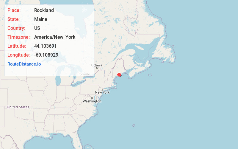
Static map view of Rockland, Maine
Browse Places by Distance
Places within specific distances from Rockland
Short Distances
Long Distances
Click any distance to see all places within that range from Rockland. Distances shown in miles (1 mile ≈ 1.61 kilometers).