Distance to Ozarks, Arkansas

Calculating Your Route
Just a moment while we process your request...
Location Information
-
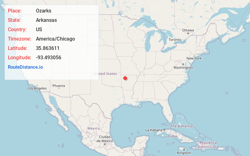
Full AddressOzarks, Arkansas 72752
-
Coordinates35.863611, -93.493056
-
LocationArkansas , US
-
TimezoneAmerica/Chicago
-
Current Local Time12:47:36 PM America/ChicagoTuesday, July 1, 2025
-
Page Views0


Nearby Places
Found 10 places within 50 miles

Ryker
2.0 mi
3.2 km
Ryker, AR 72742
Get directions

Red Star
2.1 mi
3.4 km
Red Star, AR 72752
Get directions
Reeves
3.5 mi
5.6 km
Reeves, AR 72742
Get directions
Loafer
5.6 mi
9.0 km
Loafer, AR 72752
Get directions
Arbaugh
5.6 mi
9.0 km
Arbaugh, AR 72752
Get directions
Mossville
6.2 mi
10.0 km
Mossville, AR 72628
Get directions
Fallsville
6.2 mi
10.0 km
Fallsville, AR 72854
Get directions
Boston
6.3 mi
10.1 km
Boston, AR 72752
Get directions
Weathers
6.8 mi
10.9 km
Weathers, AR 72742
Get directions
Venus
7.5 mi
12.1 km
Venus, AR 72776
Get directions
Location Links
Local Weather
Weather Information
Coming soon!
Location Map
Static map view of Ozarks, Arkansas
Browse Places by Distance
Places within specific distances from Ozarks
Short Distances
Long Distances
Click any distance to see all places within that range from Ozarks. Distances shown in miles (1 mile ≈ 1.61 kilometers).