Distance to Paia, Hawaii

Calculating Your Route
Just a moment while we process your request...
Location Information
-
Full AddressPaia, HI
-
Coordinates20.9060569, -156.3739778
-
LocationPaia , Hawaii , US
-
TimezonePacific/Honolulu
-
Current Local Time5:54:07 AM Pacific/HonoluluWednesday, June 18, 2025
-
Page Views0
About Paia
Pāʻia is a census-designated place in Maui County, Hawaii, United States, on the northern coast of the island of Maui. The population was 2,470 at the 2020 census. Pāʻia is home to several restaurants, art galleries, surf shops and other tourist-oriented businesses.


Nearby Places
Found 10 places within 50 miles

Haiku-Pauwela
4.3 mi
6.9 km
Haiku-Pauwela, HI
Get directions

Pukalani
5.1 mi
8.2 km
Pukalani, HI 96768
Get directions

Makawao
5.5 mi
8.9 km
Makawao, HI 96768
Get directions

Kahului
6.5 mi
10.5 km
Kahului, HI
Get directions

Waihee-Waiehu
8.0 mi
12.9 km
Waihee-Waiehu, HI 96793
Get directions

Kula
8.5 mi
13.7 km
Kula, HI
Get directions

Wailuku
8.5 mi
13.7 km
Wailuku, HI 96793
Get directions

Waikapu
9.1 mi
14.6 km
Waikapu, HI 96793
Get directions

Kihei
12.6 mi
20.3 km
Kihei, HI 96753
Get directions

Keokea
13.7 mi
22.0 km
Keokea, HI 96790
Get directions
Location Links
Local Weather
Weather Information
Coming soon!
Location Map
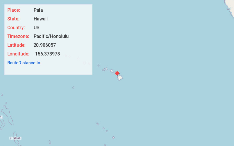
Static map view of Paia, Hawaii
Browse Places by Distance
Places within specific distances from Paia
Short Distances
Long Distances
Click any distance to see all places within that range from Paia. Distances shown in miles (1 mile ≈ 1.61 kilometers).