Distance to Paicines, California

Calculating Your Route
Just a moment while we process your request...
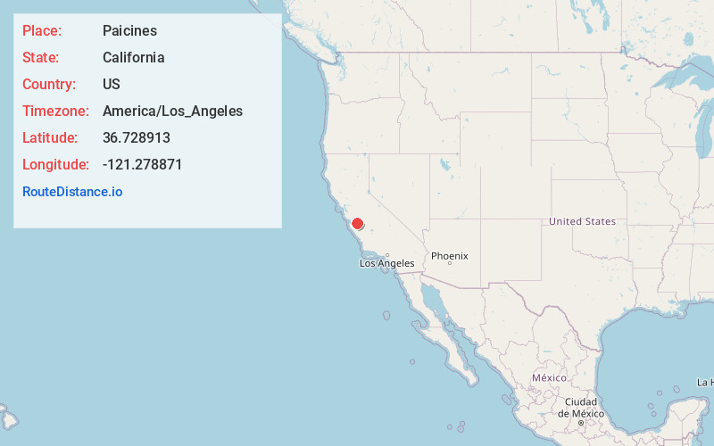
Location Information
-
Full AddressPaicines, CA
-
Coordinates36.7289127, -121.2788708
-
LocationPaicines , California , US
-
TimezoneAmerica/Los_Angeles
-
Current Local Time9:51:31 AM America/Los_AngelesSaturday, June 7, 2025
-
Page Views0
About Paicines
Paicines is an unincorporated community in San Benito County, California. The community is at the intersection of Panoche Road and SR 25. Bolado County Park is just over three miles north of the community and the site of the San Benito County Fair.


Nearby Places
Found 10 places within 50 miles

Tres Pinos
4.6 mi
7.4 km
Tres Pinos, CA
Get directions

Ridgemark
7.5 mi
12.1 km
Ridgemark, CA 95023
Get directions

Hollister
10.9 mi
17.5 km
Hollister, CA 95023
Get directions

Morse
14.0 mi
22.5 km
Morse, CA 95045
Get directions
Dunneville
16.3 mi
26.2 km
Dunneville, CA 95023
Get directions

San Juan Bautista
16.4 mi
26.4 km
San Juan Bautista, CA 95045
Get directions

Chualar
17.2 mi
27.7 km
Chualar, CA
Get directions

Pinnacles National Park
17.3 mi
27.8 km
Pinnacles National Park, California 95043
Get directions
Penvir
17.5 mi
28.2 km
Penvir, CA 93926
Get directions
Natividad
17.5 mi
28.2 km
Natividad, CA 93908
Get directions
Location Links
Local Weather
Weather Information
Coming soon!
Location Map
Static map view of Paicines, California
Browse Places by Distance
Places within specific distances from Paicines
Short Distances
Long Distances
Click any distance to see all places within that range from Paicines. Distances shown in miles (1 mile ≈ 1.61 kilometers).