Distance to Palatine Township, Illinois

Calculating Your Route
Just a moment while we process your request...
Location Information
-
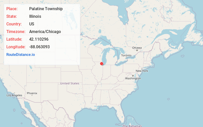
Full AddressPalatine Township, IL
-
Coordinates42.1102958, -88.0630926
-
LocationPalatine Township , Illinois , US
-
TimezoneAmerica/Chicago
-
Current Local Time8:36:43 AM America/ChicagoTuesday, June 24, 2025
-
Page Views0
About Palatine Township
Palatine Township is one of 29 townships in Cook County, Illinois, United States. As of the 2020 census, its population was 114,403. It is the north central township of the six northwest townships that form the Cook County panhandle. Palatine Township was organized in 1850.
Nearby Places
Found 10 places within 50 miles

Palatine
1.5 mi
2.4 km
Palatine, IL
Get directions

Inverness
1.8 mi
2.9 km
Inverness, IL
Get directions

Barrington Woods
2.9 mi
4.7 km
Barrington Woods, Palatine, IL 60074
Get directions

Rolling Meadows
3.1 mi
5.0 km
Rolling Meadows, IL
Get directions

Deer Park
3.6 mi
5.8 km
Deer Park, IL
Get directions

Kildeer
4.2 mi
6.8 km
Kildeer, IL
Get directions

Hoffman Estates
4.5 mi
7.2 km
Hoffman Estates, IL
Get directions

Arlington Heights
4.5 mi
7.2 km
Arlington Heights, IL
Get directions

Barrington
4.8 mi
7.7 km
Barrington, IL 60010
Get directions

South Barrington
4.9 mi
7.9 km
South Barrington, IL 60010
Get directions
Location Links
Local Weather
Weather Information
Coming soon!
Location Map
Static map view of Palatine Township, Illinois
Browse Places by Distance
Places within specific distances from Palatine Township
Short Distances
Long Distances
Click any distance to see all places within that range from Palatine Township. Distances shown in miles (1 mile ≈ 1.61 kilometers).