Distance to Palm Shores, Florida

Calculating Your Route
Just a moment while we process your request...
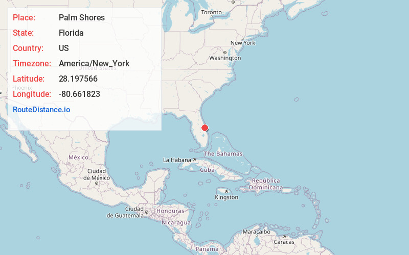
Location Information
-
Full AddressPalm Shores, FL
-
Coordinates28.1975661, -80.6618234
-
LocationPalm Shores , Florida , US
-
TimezoneAmerica/New_York
-
Current Local Time3:48:45 PM America/New_YorkTuesday, June 17, 2025
-
Page Views0
About Palm Shores
Palm Shores is a town in Brevard County, Florida. It is part of the Palm Bay–Melbourne–Titusville, Florida Metropolitan Statistical Area. The population was 1,200 at the 2020 US Census, up from 900 at the 2010 census.


Nearby Places
Found 10 places within 50 miles

South Patrick Shores
3.2 mi
5.1 km
South Patrick Shores, FL 32937
Get directions

Patrick Space Force Base
4.4 mi
7.1 km
Patrick Space Force Base, FL 32925
Get directions
Viera East
5.3 mi
8.5 km
Viera East, FL
Get directions

Viera West
5.8 mi
9.3 km
Viera West, FL
Get directions

Merritt Island
8.3 mi
13.4 km
Merritt Island, FL
Get directions

June Park
8.6 mi
13.8 km
June Park, FL 32904
Get directions

West Melbourne
8.7 mi
14.0 km
West Melbourne, FL
Get directions

Melbourne
8.8 mi
14.2 km
Melbourne, FL
Get directions

Cocoa Beach
8.9 mi
14.3 km
Cocoa Beach, FL 32931
Get directions

Rockledge
9.1 mi
14.6 km
Rockledge, FL
Get directions
Location Links
Local Weather
Weather Information
Coming soon!
Location Map
Static map view of Palm Shores, Florida
Browse Places by Distance
Places within specific distances from Palm Shores
Short Distances
Long Distances
Click any distance to see all places within that range from Palm Shores. Distances shown in miles (1 mile ≈ 1.61 kilometers).