Distance to Palmdale, Minnesota

Calculating Your Route
Just a moment while we process your request...
Location Information
-
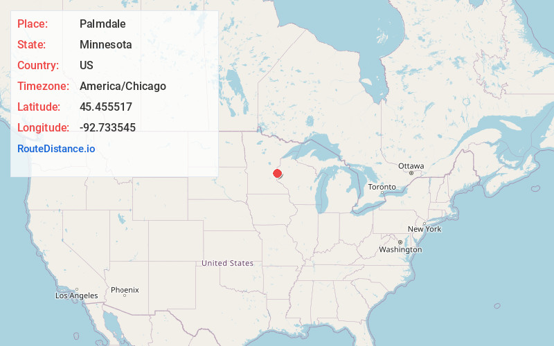
Full AddressPalmdale, MN 55074
-
Coordinates45.455517, -92.7335452
-
LocationPalmdale , Minnesota , US
-
TimezoneAmerica/Chicago
-
Current Local Time11:27:37 AM America/ChicagoFriday, June 20, 2025
-
Page Views0
About Palmdale
Palmdale is an unincorporated community in Shafer Township, Chisago County, Minnesota, United States.
The community is located north of Taylors Falls at the junction of State Highway 95 and 350th Street. Dry Creek flows through the community.
Nearby Places
Found 10 places within 50 miles

Shafer
4.8 mi
7.7 km
Shafer, MN
Get directions

Taylors Falls
5.4 mi
8.7 km
Taylors Falls, MN 55084
Get directions

Center City
5.9 mi
9.5 km
Center City, MN
Get directions

Wolf Creek
7.0 mi
11.3 km
Wolf Creek, WI 54024
Get directions
Kost
7.0 mi
11.3 km
Kost, MN 55056
Get directions

Lindstrom
7.2 mi
11.6 km
Lindstrom, MN
Get directions
Dresser
8.4 mi
13.5 km
Dresser, WI
Get directions

Centuria
8.7 mi
14.0 km
Centuria, WI 54824
Get directions

Cushing
8.9 mi
14.3 km
Cushing, WI
Get directions

Osceola
9.4 mi
15.1 km
Osceola, WI 54020
Get directions
Location Links
Local Weather
Weather Information
Coming soon!
Location Map
Static map view of Palmdale, Minnesota
Browse Places by Distance
Places within specific distances from Palmdale
Short Distances
Long Distances
Click any distance to see all places within that range from Palmdale. Distances shown in miles (1 mile ≈ 1.61 kilometers).