Distance to Taylors Falls, Minnesota

Calculating Your Route
Just a moment while we process your request...
Location Information
-
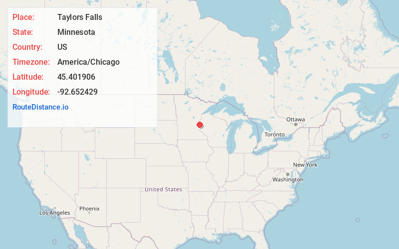
Full AddressTaylors Falls, MN 55084
-
Coordinates45.4019062, -92.6524292
-
LocationTaylors Falls , Minnesota , US
-
TimezoneAmerica/Chicago
-
Current Local Time3:05:10 AM America/ChicagoWednesday, June 18, 2025
-
Website
-
Page Views0
About Taylors Falls
Taylors Falls is a city in Chisago County, Minnesota, United States, located at the junction of U.S. Highway 8 and Minnesota State Highway 95. The population was 1,055 at the 2020 census.


Nearby Places
Found 10 places within 50 miles

Osceola
6.2 mi
10.0 km
Osceola, WI 54020
Get directions

Lindstrom
9.5 mi
15.3 km
Lindstrom, MN
Get directions

Chisago City
11.7 mi
18.8 km
Chisago City, MN
Get directions

Scandia
12.7 mi
20.4 km
Scandia, MN
Get directions

Luck
14.6 mi
23.5 km
Luck, WI 54853
Get directions

Amery
15.5 mi
24.9 km
Amery, WI 54001
Get directions

Stacy
16.3 mi
26.2 km
Stacy, MN 55079
Get directions

Wyoming
17.4 mi
28.0 km
Wyoming, MN
Get directions

North Branch
18.1 mi
29.1 km
North Branch, MN
Get directions

Forest Lake
18.3 mi
29.5 km
Forest Lake, MN
Get directions
Location Links
Local Weather
Weather Information
Coming soon!
Location Map
Static map view of Taylors Falls, Minnesota
Browse Places by Distance
Places within specific distances from Taylors Falls
Short Distances
Long Distances
Click any distance to see all places within that range from Taylors Falls. Distances shown in miles (1 mile ≈ 1.61 kilometers).