Distance to Palmer, Texas

Calculating Your Route
Just a moment while we process your request...
Location Information
-
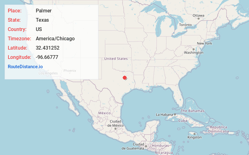
Full AddressPalmer, TX 75152
-
Coordinates32.431252, -96.66777
-
LocationPalmer , Texas , US
-
TimezoneAmerica/Chicago
-
Current Local Time3:09:44 PM America/ChicagoThursday, June 19, 2025
-
Page Views0
About Palmer
Palmer is a town in Ellis County, Texas, United States. It is part of the Dallas–Fort Worth metroplex. Its population was 2,393 in 2020.


Nearby Places
Found 10 places within 50 miles

Ferris
7.1 mi
11.4 km
Ferris, TX
Get directions

Ennis
7.5 mi
12.1 km
Ennis, TX
Get directions

Waxahachie
11.0 mi
17.7 km
Waxahachie, TX
Get directions

Red Oak
11.1 mi
17.9 km
Red Oak, TX
Get directions

Wilmer
11.5 mi
18.5 km
Wilmer, TX
Get directions

Lancaster
12.2 mi
19.6 km
Lancaster, TX
Get directions

Glenn Heights
14.2 mi
22.9 km
Glenn Heights, TX 75154
Get directions

Ovilla
14.3 mi
23.0 km
Ovilla, TX
Get directions

Hutchins
15.3 mi
24.6 km
Hutchins, TX
Get directions

DeSoto
15.5 mi
24.9 km
DeSoto, TX 75115
Get directions
Location Links
Local Weather
Weather Information
Coming soon!
Location Map
Static map view of Palmer, Texas
Browse Places by Distance
Places within specific distances from Palmer
Short Distances
Long Distances
Click any distance to see all places within that range from Palmer. Distances shown in miles (1 mile ≈ 1.61 kilometers).