Distance to Palo Pinto, Texas

Calculating Your Route
Just a moment while we process your request...
Location Information
-
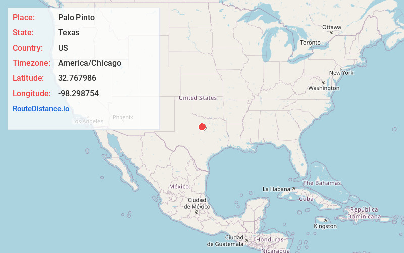
Full AddressPalo Pinto, TX 76484
-
Coordinates32.7679859, -98.2987543
-
LocationPalo Pinto , Texas , US
-
TimezoneAmerica/Chicago
-
Current Local Time9:14:05 AM America/ChicagoThursday, May 22, 2025
-
Page Views0
About Palo Pinto
Palo Pinto is a census-designated place and unincorporated community and county seat in Palo Pinto County, Texas, United States. This was a new CDP for the 2010 census with a population of 333.


Nearby Places
Found 10 places within 50 miles

Mineral Wells
11.2 mi
18.0 km
Mineral Wells, TX
Get directions

Graford
12.1 mi
19.5 km
Graford, TX 76449
Get directions

Santo
12.4 mi
20.0 km
Santo, TX 76472
Get directions

Gordon
15.7 mi
25.3 km
Gordon, TX 76453
Get directions

Millsap
16.7 mi
26.9 km
Millsap, TX 76066
Get directions

Mingus
17.4 mi
28.0 km
Mingus, TX 76463
Get directions
Garner
18.8 mi
30.3 km
Garner, TX 76088
Get directions

Strawn
18.9 mi
30.4 km
Strawn, TX 76475
Get directions

Lipan
22.7 mi
36.5 km
Lipan, TX 76462
Get directions
Perrin
22.7 mi
36.5 km
Perrin, TX 76486
Get directions
Location Links
Local Weather
Weather Information
Coming soon!
Location Map
Static map view of Palo Pinto, Texas
Browse Places by Distance
Places within specific distances from Palo Pinto
Short Distances
Long Distances
Click any distance to see all places within that range from Palo Pinto. Distances shown in miles (1 mile ≈ 1.61 kilometers).