Distance to Palomar Mountain, California

Calculating Your Route
Just a moment while we process your request...
Location Information
-
Full AddressPalomar Mountain, California 92060
-
Coordinates33.3633675, -116.8355789
-
LocationCalifornia , US
-
TimezoneAmerica/Los_Angeles
-
Current Local Time4:47:17 PM America/Los_AngelesWednesday, June 4, 2025
-
Page Views0
About Palomar Mountain
Diverse mountain for hiking, alongside the Palomar Observatory, Hale Telescope & state park.


Nearby Places
Found 10 places within 50 miles

Cleveland National Forest
4.8 mi
7.7 km
Cleveland National Forest, California 92070
Get directions

Holcomb Village
5.7 mi
9.2 km
Holcomb Village, CA 92086
Get directions

Aguanga
5.7 mi
9.2 km
Aguanga, CA 92536
Get directions

La Jolla Amago
5.8 mi
9.3 km
La Jolla Amago, CA 92061
Get directions
Radec
8.3 mi
13.4 km
Radec, CA 92536
Get directions

Rincon
8.9 mi
14.3 km
Rincon, CA 92061
Get directions

Pauma Valley
9.4 mi
15.1 km
Pauma Valley, CA 92061
Get directions
Butterfield Lake Estates
10.9 mi
17.5 km
Butterfield Lake Estates, CA 92544
Get directions
Lake Riverside
11.5 mi
18.5 km
Lake Riverside, CA 92536
Get directions

Warner Springs
12.3 mi
19.8 km
Warner Springs, CA 92086
Get directions
Location Links
Local Weather
Weather Information
Coming soon!
Location Map
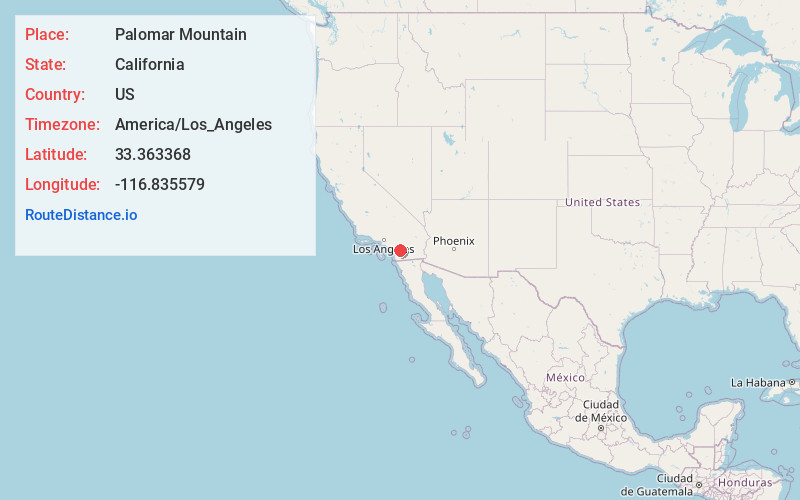
Static map view of Palomar Mountain, California
Browse Places by Distance
Places within specific distances from Palomar Mountain
Short Distances
Long Distances
Click any distance to see all places within that range from Palomar Mountain. Distances shown in miles (1 mile ≈ 1.61 kilometers).