Distance to Pando, Colorado

Calculating Your Route
Just a moment while we process your request...
Location Information
-
Full AddressPando, Colorado 81649
-
Coordinates39.4572918, -106.3331875
-
LocationColorado , US
-
TimezoneAmerica/Denver
-
Current Local Time12:59:18 AM America/DenverFriday, June 20, 2025
-
Page Views0
Nearby Places
Found 10 places within 50 miles

Red Cliff
4.3 mi
6.9 km
Red Cliff, CO 81649
Get directions

Belden
5.5 mi
8.9 km
Belden, Minturn, CO 81649
Get directions

Copper Mountain
9.3 mi
15.0 km
Copper Mountain, Frisco, CO 80443
Get directions

Minturn
10.4 mi
16.7 km
Minturn, CO
Get directions

Eagles Nest
11.5 mi
18.5 km
Eagles Nest, CO 81657
Get directions

Vail
13.1 mi
21.1 km
Vail, CO 81657
Get directions

Mt Lincoln
13.9 mi
22.4 km
Mt Lincoln, Colorado 80424
Get directions

Leadville
14.4 mi
23.2 km
Leadville, CO 80461
Get directions

Frisco
14.9 mi
24.0 km
Frisco, CO
Get directions
Stringtown
15.5 mi
24.9 km
Stringtown, CO 80461
Get directions
Location Links
Local Weather
Weather Information
Coming soon!
Location Map
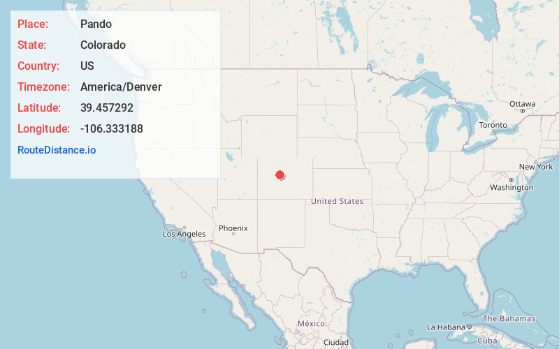
Static map view of Pando, Colorado
Browse Places by Distance
Places within specific distances from Pando
Short Distances
Long Distances
Click any distance to see all places within that range from Pando. Distances shown in miles (1 mile ≈ 1.61 kilometers).