Distance to Pandora, Colorado

Calculating Your Route
Just a moment while we process your request...
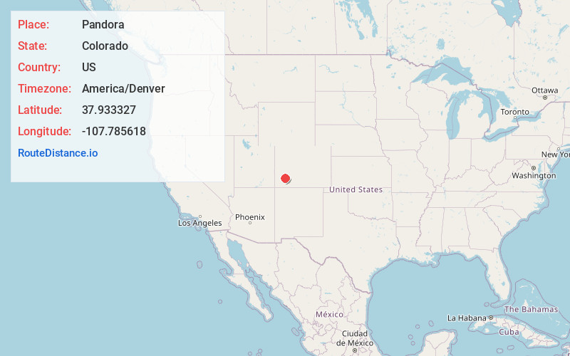
Location Information
-
Full AddressPandora, CO 81435
-
Coordinates37.9333274, -107.7856178
-
LocationPandora , Colorado , US
-
TimezoneAmerica/Denver
-
Current Local Time9:28:16 AM America/DenverSunday, June 8, 2025
-
Page Views0
About Pandora
Pandora is an unincorporated community located 1.5 miles east of Telluride in San Miguel County, Colorado.
Pandora was founded in the 1880s as a mill town, serving as the site for mills of the Smuggler-Union, Tomboy, and Sheridan mines.


Nearby Places
Found 10 places within 50 miles

Telluride
1.5 mi
2.4 km
Telluride, CO
Get directions

Mountain Village
3.9 mi
6.3 km
Mountain Village, CO 81435
Get directions

Red Mountain Pass
4.7 mi
7.6 km
Red Mountain Pass, Colorado 81432
Get directions

Ophir
5.9 mi
9.5 km
Ophir, CO 81426
Get directions

Ophir Loop
6.8 mi
10.9 km
Ophir Loop, CO 81426
Get directions

Lime
8.1 mi
13.0 km
Lime, CO 81435
Get directions

Ouray
8.8 mi
14.2 km
Ouray, CO
Get directions

Silverton
10.7 mi
17.2 km
Silverton, CO 81433
Get directions
Howardsville Mine
12.4 mi
20.0 km
Howardsville Mine, Colorado 81433
Get directions

Sawpit
12.5 mi
20.1 km
Sawpit, CO
Get directions
Location Links
Local Weather
Weather Information
Coming soon!
Location Map
Static map view of Pandora, Colorado
Browse Places by Distance
Places within specific distances from Pandora
Short Distances
Long Distances
Click any distance to see all places within that range from Pandora. Distances shown in miles (1 mile ≈ 1.61 kilometers).