Distance to Ophir, Colorado

Calculating Your Route
Just a moment while we process your request...
Location Information
-
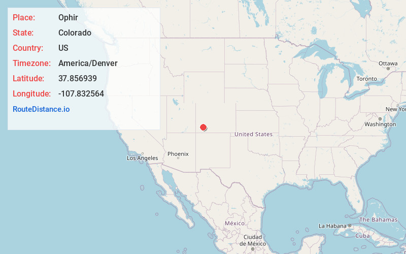
Full AddressOphir, CO 81426
-
Coordinates37.8569392, -107.8325644
-
LocationOphir , Colorado , US
-
TimezoneAmerica/Denver
-
Current Local Time12:06:14 PM America/DenverTuesday, May 20, 2025
-
Website
-
Page Views0
About Ophir
Ophir is a home rule municipality town governed by a general assembly and is located in San Miguel County, Colorado, United States. It is located two miles from the Ames Hydroelectric Generating Plant, the world's first hydroelectric plant to supply alternating current electricity for an industrial purpose.


Nearby Places
Found 10 places within 50 miles

Mountain Village
5.3 mi
8.5 km
Mountain Village, CO 81435
Get directions

Telluride
5.7 mi
9.2 km
Telluride, CO
Get directions

Silverton
9.7 mi
15.6 km
Silverton, CO 81433
Get directions

Ouray
14.4 mi
23.2 km
Ouray, CO
Get directions

Rico
15.7 mi
25.3 km
Rico, CO 81332
Get directions

Placerville
16.3 mi
26.2 km
Placerville, CO 81430
Get directions

Ridgway
20.9 mi
33.6 km
Ridgway, CO 81432
Get directions

Loghill Village
23.6 mi
38.0 km
Loghill Village, CO 81432
Get directions

Lake City
30.6 mi
49.2 km
Lake City, CO 81235
Get directions

Norwood
31.4 mi
50.5 km
Norwood, CO 81423
Get directions
Location Links
Local Weather
Weather Information
Coming soon!
Location Map
Static map view of Ophir, Colorado
Browse Places by Distance
Places within specific distances from Ophir
Short Distances
Long Distances
Click any distance to see all places within that range from Ophir. Distances shown in miles (1 mile ≈ 1.61 kilometers).