Distance to Placerville, Colorado

Calculating Your Route
Just a moment while we process your request...
Location Information
-
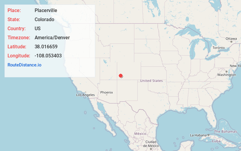
Full AddressPlacerville, CO 81430
-
Coordinates38.0166587, -108.0534031
-
LocationPlacerville , Colorado , US
-
TimezoneAmerica/Denver
-
Current Local Time8:06:56 AM America/DenverWednesday, June 18, 2025
-
Page Views0
About Placerville
Placerville is a census-designated place and post office in and governed by San Miguel County, Colorado, United States. The Placerville post office has the ZIP Code 81430. At the United States Census 2020, the population of the Placerville CDP was 362.


Nearby Places
Found 10 places within 50 miles

Mountain Village
12.2 mi
19.6 km
Mountain Village, CO 81435
Get directions

Telluride
14.2 mi
22.9 km
Telluride, CO
Get directions

Norwood
15.2 mi
24.5 km
Norwood, CO 81423
Get directions

Ridgway
18.7 mi
30.1 km
Ridgway, CO 81432
Get directions

Loghill Village
19.3 mi
31.1 km
Loghill Village, CO 81432
Get directions

Ouray
20.8 mi
33.5 km
Ouray, CO
Get directions

Rico
22.4 mi
36.0 km
Rico, CO 81332
Get directions

Redvale
22.6 mi
36.4 km
Redvale, CO 81431
Get directions

Silverton
25.5 mi
41.0 km
Silverton, CO 81433
Get directions

Naturita
31.3 mi
50.4 km
Naturita, CO
Get directions
Location Links
Local Weather
Weather Information
Coming soon!
Location Map
Static map view of Placerville, Colorado
Browse Places by Distance
Places within specific distances from Placerville
Short Distances
Long Distances
Click any distance to see all places within that range from Placerville. Distances shown in miles (1 mile ≈ 1.61 kilometers).