Distance to Pangburn, Arkansas

Calculating Your Route
Just a moment while we process your request...
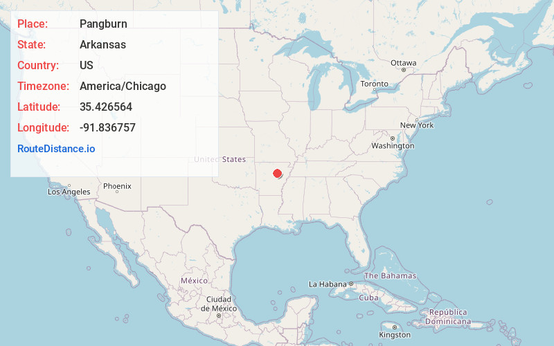
Location Information
-
Full AddressPangburn, AR 72121
-
Coordinates35.4265642, -91.8367566
-
LocationPangburn , Arkansas , US
-
TimezoneAmerica/Chicago
-
Current Local Time4:22:55 AM America/ChicagoWednesday, June 18, 2025
-
Page Views0
About Pangburn
Pangburn is a city in White County, Arkansas, United States. The population was 500 at the 2020 census.


Nearby Places
Found 10 places within 50 miles

Tumbling Shoals
10.8 mi
17.4 km
Tumbling Shoals, AR
Get directions

Heber Springs
11.8 mi
19.0 km
Heber Springs, AR 72543
Get directions

Searcy
13.8 mi
22.2 km
Searcy, AR
Get directions

Judsonia
15.0 mi
24.1 km
Judsonia, AR 72081
Get directions
Kensett
16.4 mi
26.4 km
Kensett, AR
Get directions

Bald Knob
17.1 mi
27.5 km
Bald Knob, AR 72010
Get directions

Higginson
17.3 mi
27.8 km
Higginson, AR
Get directions

Greers Ferry
21.5 mi
34.6 km
Greers Ferry, AR 72067
Get directions

Quitman
21.6 mi
34.8 km
Quitman, AR 72131
Get directions
McRae
21.6 mi
34.8 km
McRae, AR 72102
Get directions
Location Links
Local Weather
Weather Information
Coming soon!
Location Map
Static map view of Pangburn, Arkansas
Browse Places by Distance
Places within specific distances from Pangburn
Short Distances
Long Distances
Click any distance to see all places within that range from Pangburn. Distances shown in miles (1 mile ≈ 1.61 kilometers).