Distance to Panorama Heights, California

Calculating Your Route
Just a moment while we process your request...
Location Information
-
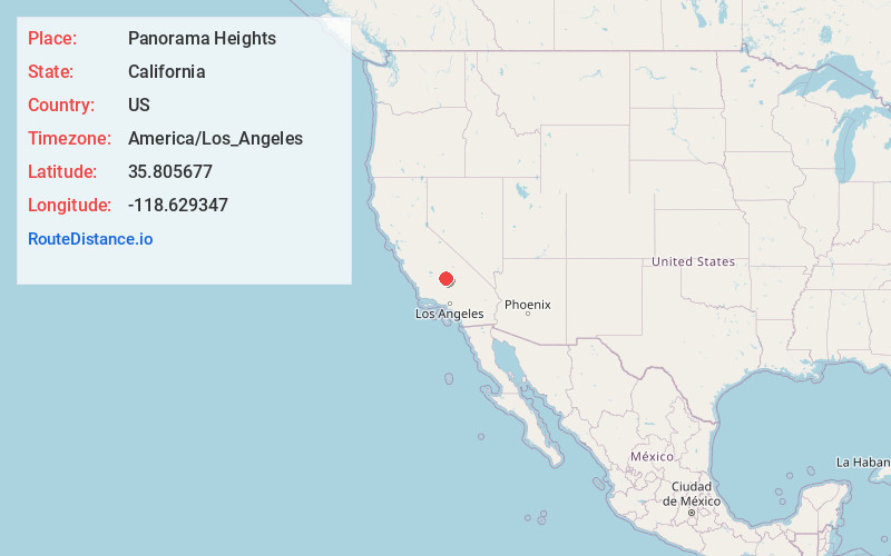
Full AddressPanorama Heights, CA 93260
-
Coordinates35.8056772, -118.6293467
-
LocationPanorama Heights , California , US
-
TimezoneAmerica/Los_Angeles
-
Current Local Time8:56:58 AM America/Los_AngelesSunday, June 1, 2025
-
Page Views0
About Panorama Heights
Panorama Heights is a census-designated place in Tulare County, California. Panorama Heights sits at an elevation of 5,043 feet. The 2020 United States census reported Panorama Heights's population was 44, up from 41 at the 2010 census.


Nearby Places
Found 10 places within 50 miles

Idlewild
2.4 mi
3.9 km
Idlewild, CA 93260
Get directions

Wofford Heights
11.9 mi
19.2 km
Wofford Heights, CA 93285
Get directions

Kernville
12.0 mi
19.3 km
Kernville, CA
Get directions

Woody
13.6 mi
21.9 km
Woody, CA
Get directions

Lake Isabella
15.7 mi
25.3 km
Lake Isabella, CA
Get directions

Bodfish
16.9 mi
27.2 km
Bodfish, CA 93205
Get directions

Mountain Mesa
17.0 mi
27.4 km
Mountain Mesa, CA 93240
Get directions

Squirrel Mountain Valley
17.6 mi
28.3 km
Squirrel Mountain Valley, CA 93240
Get directions

Weldon
21.3 mi
34.3 km
Weldon, CA
Get directions

Ponderosa
21.5 mi
34.6 km
Ponderosa, CA 93265
Get directions
Location Links
Local Weather
Weather Information
Coming soon!
Location Map
Static map view of Panorama Heights, California
Browse Places by Distance
Places within specific distances from Panorama Heights
Short Distances
Long Distances
Click any distance to see all places within that range from Panorama Heights. Distances shown in miles (1 mile ≈ 1.61 kilometers).