Distance to Ponderosa, California

Calculating Your Route
Just a moment while we process your request...
Location Information
-
Full AddressPonderosa, CA 93265
-
Coordinates36.106331, -118.5283784
-
LocationPonderosa , California , US
-
TimezoneAmerica/Los_Angeles
-
Current Local Time7:12:05 PM America/Los_AngelesSunday, June 22, 2025
-
Page Views0
About Ponderosa
Ponderosa is a census-designated place in Tulare County, California. Ponderosa sits at an elevation of 7,231 feet. The 2010 United States census reported Ponderosa's population was 16.


Nearby Places
Found 10 places within 50 miles

Camp Nelson
5.4 mi
8.7 km
Camp Nelson, CA 93265
Get directions

Pierpoint
6.0 mi
9.7 km
Pierpoint, CA 93265
Get directions

Sequoia Crest
7.9 mi
12.7 km
Sequoia Crest, CA 93265
Get directions

Springville
16.3 mi
26.2 km
Springville, CA 93265
Get directions

Kennedy Meadows
23.5 mi
37.8 km
Kennedy Meadows, CA 93527
Get directions

Kernville
25.0 mi
40.2 km
Kernville, CA
Get directions

East Porterville
25.2 mi
40.6 km
East Porterville, CA 93257
Get directions

Porterville
27.4 mi
44.1 km
Porterville, CA 93257
Get directions

Wofford Heights
27.9 mi
44.9 km
Wofford Heights, CA 93285
Get directions

Strathmore
29.8 mi
48.0 km
Strathmore, CA 93267
Get directions
Location Links
Local Weather
Weather Information
Coming soon!
Location Map
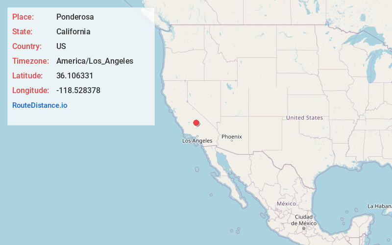
Static map view of Ponderosa, California
Browse Places by Distance
Places within specific distances from Ponderosa
Short Distances
Long Distances
Click any distance to see all places within that range from Ponderosa. Distances shown in miles (1 mile ≈ 1.61 kilometers).