Distance to Paoli, Colorado

Calculating Your Route
Just a moment while we process your request...
Location Information
-
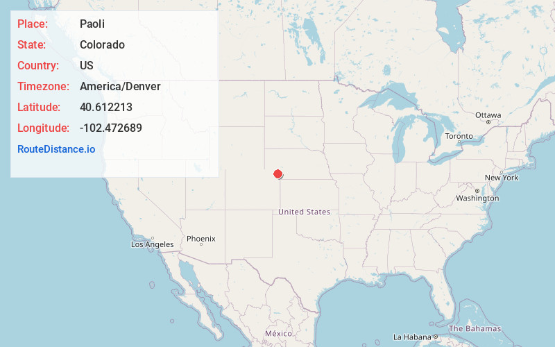
Full AddressPaoli, CO
-
Coordinates40.6122133, -102.4726893
-
LocationPaoli , Colorado , US
-
TimezoneAmerica/Denver
-
Current Local Time7:14:37 PM America/DenverTuesday, June 3, 2025
-
Page Views0
About Paoli
Paoli is a statutory town in Phillips County, Colorado, United States. As of the 2020 census, its population was 51.
Nearby Places
Found 10 places within 50 miles

Haxtun
8.3 mi
13.4 km
Haxtun, CO 80731
Get directions

Holyoke
9.1 mi
14.6 km
Holyoke, CO 80734
Get directions
Amherst
16.8 mi
27.0 km
Amherst, CO 80721
Get directions

Fleming
19.8 mi
31.9 km
Fleming, CO 80728
Get directions

Sedgwick
22.6 mi
36.4 km
Sedgwick, CO 80749
Get directions

Crook
24.2 mi
38.9 km
Crook, CO 80726
Get directions

Ovid
24.5 mi
39.4 km
Ovid, CO 80744
Get directions
Venango
24.9 mi
40.1 km
Venango, NE 69168
Get directions

Julesburg
28.2 mi
45.4 km
Julesburg, CO 80737
Get directions
Iliff
32.7 mi
52.6 km
Iliff, CO 80736
Get directions
Location Links
Local Weather
Weather Information
Coming soon!
Location Map
Static map view of Paoli, Colorado
Browse Places by Distance
Places within specific distances from Paoli
Short Distances
Long Distances
Click any distance to see all places within that range from Paoli. Distances shown in miles (1 mile ≈ 1.61 kilometers).