Distance to Parlin, Colorado

Calculating Your Route
Just a moment while we process your request...
Location Information
-
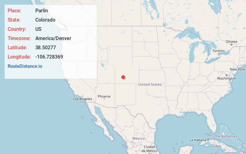
Full AddressParlin, CO 81230
-
Coordinates38.5027695, -106.7283692
-
LocationParlin , Colorado , US
-
TimezoneAmerica/Denver
-
Current Local Time2:57:11 PM America/DenverThursday, June 19, 2025
-
Page Views0
About Parlin
Parlin is an unincorporated community and a U.S. Post Office in Gunnison County, Colorado, United States. The Parlin Post Office has the ZIP Code 81239.
Nearby Places
Found 10 places within 50 miles

Gunnison
11.1 mi
17.9 km
Gunnison, CO 81230
Get directions

Pitkin
13.6 mi
21.9 km
Pitkin, CO
Get directions

Garfield
23.8 mi
38.3 km
Garfield, CO 81201
Get directions

Crested Butte
29.0 mi
46.7 km
Crested Butte, CO 81224
Get directions
Maysville
29.2 mi
47.0 km
Maysville, CO 81201
Get directions

Pieplant Mill
31.4 mi
50.5 km
Pieplant Mill, CO 81210
Get directions

Gothic
34.5 mi
55.5 km
Gothic, CO 81224
Get directions

Bonanza
34.8 mi
56.0 km
Bonanza, CO 81155
Get directions

Poncha Springs
35.2 mi
56.6 km
Poncha Springs, CO
Get directions
Smeltertown
38.7 mi
62.3 km
Smeltertown, CO 81201
Get directions
Location Links
Local Weather
Weather Information
Coming soon!
Location Map
Static map view of Parlin, Colorado
Browse Places by Distance
Places within specific distances from Parlin
Short Distances
Long Distances
Click any distance to see all places within that range from Parlin. Distances shown in miles (1 mile ≈ 1.61 kilometers).