Distance to Smeltertown, Colorado

Calculating Your Route
Just a moment while we process your request...
Location Information
-
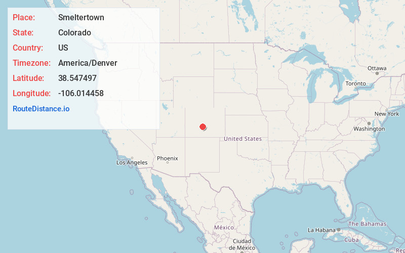
Full AddressSmeltertown, CO 81201
-
Coordinates38.5474971, -106.0144583
-
LocationSmeltertown , Colorado , US
-
TimezoneAmerica/Denver
-
Current Local Time2:27:44 AM America/DenverFriday, June 20, 2025
-
Page Views0
About Smeltertown
Smeltertown is an unincorporated community and a census-designated place located in and governed by Chaffee County, Colorado, United States. The population of the Smeltertown CDP was 88 at the United States Census 2020. The Salida post office serves the area.
Nearby Places
Found 10 places within 50 miles

Salida
1.2 mi
1.9 km
Salida, CO 81201
Get directions

Poncha Springs
4.2 mi
6.8 km
Poncha Springs, CO
Get directions

Maysville
9.5 mi
15.3 km
Maysville, CO 81201
Get directions

Howard
11.8 mi
19.0 km
Howard, CO
Get directions

Nathrop
14.2 mi
22.9 km
Nathrop, CO
Get directions

Coaldale
18.7 mi
30.1 km
Coaldale, CO
Get directions

Johnson Village
18.9 mi
30.4 km
Johnson Village, CO 81211
Get directions

Buena Vista
21.3 mi
34.3 km
Buena Vista, CO 81211
Get directions

Pitkin
27.5 mi
44.3 km
Pitkin, CO
Get directions

Saguache
32.5 mi
52.3 km
Saguache, CO 81149
Get directions
Location Links
Local Weather
Weather Information
Coming soon!
Location Map
Static map view of Smeltertown, Colorado
Browse Places by Distance
Places within specific distances from Smeltertown
Short Distances
Long Distances
Click any distance to see all places within that range from Smeltertown. Distances shown in miles (1 mile ≈ 1.61 kilometers).