Distance to Parran, Maryland

Calculating Your Route
Just a moment while we process your request...
Location Information
-
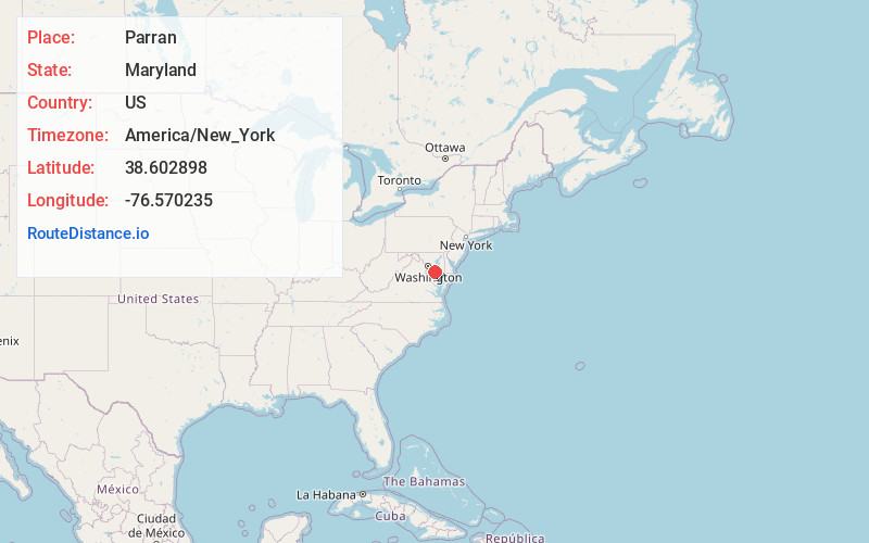
Full AddressParran, MD 20639
-
Coordinates38.6028982, -76.5702349
-
LocationMaryland , US
-
TimezoneAmerica/New_York
-
Current Local Time8:01:18 PM America/New_YorkThursday, June 19, 2025
-
Page Views0
About Parran
Parran is an unincorporated community located at the crossroads of MD 263, Cox Road, and Emmanuel Church Road in Calvert County, Maryland, United States. Cornehill was listed on the National Register of Historic Places in 1973.
Nearby Places
Found 10 places within 50 miles

Huntingtown
2.5 mi
4.0 km
Huntingtown, MD 20639
Get directions

Wilson
2.6 mi
4.2 km
Wilson, MD 20639
Get directions

Prince Frederick
4.4 mi
7.1 km
Prince Frederick, MD
Get directions
Poplars
4.9 mi
7.9 km
Poplars, MD 20732
Get directions
Sunderland
5.0 mi
8.0 km
Sunderland, MD 20689
Get directions
Barstow
5.9 mi
9.5 km
Barstow, MD 20678
Get directions
Eagle Harbor
6.7 mi
10.8 km
Eagle Harbor, MD 20608
Get directions
Mt Harmony
6.9 mi
11.1 km
Mt Harmony, MD 20736
Get directions

North Beach
7.5 mi
12.1 km
North Beach, MD
Get directions
Governor Run
7.9 mi
12.7 km
Governor Run, MD 20676
Get directions
Location Links
Local Weather
Weather Information
Coming soon!
Location Map
Static map view of Parran, Maryland
Browse Places by Distance
Places within specific distances from Parran
Short Distances
Long Distances
Click any distance to see all places within that range from Parran. Distances shown in miles (1 mile ≈ 1.61 kilometers).