Distance to Paton, Kansas

Calculating Your Route
Just a moment while we process your request...
Location Information
-
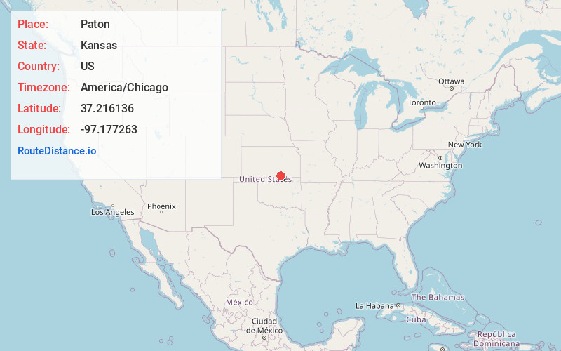
Full AddressPaton, Valverde Township, KS 67119
-
Coordinates37.2161362, -97.1772631
-
LocationValverde Township , Kansas , US
-
TimezoneAmerica/Chicago
-
Current Local Time6:00:27 PM America/ChicagoFriday, May 30, 2025
-
Page Views0
Nearby Places
Found 10 places within 50 miles

Oxford
4.0 mi
6.4 km
Oxford, KS 67119
Get directions

Dalton
6.4 mi
10.3 km
Dalton, Avon Township, KS 67152
Get directions
Geuda Springs
7.2 mi
11.6 km
Geuda Springs, KS 67051
Get directions
Whitman
8.1 mi
13.0 km
Whitman, KS 67013
Get directions
Hackney
9.2 mi
14.8 km
Hackney, KS 67156
Get directions
Ashton
9.8 mi
15.8 km
Ashton, KS 67051
Get directions
Moxham
10.1 mi
16.3 km
Moxham, Creswell Township, KS 67005
Get directions
Bushnell
10.1 mi
16.3 km
Bushnell, Gore Township, KS 67146
Get directions

Winfield
10.1 mi
16.3 km
Winfield, KS
Get directions

Wellington
11.2 mi
18.0 km
Wellington, KS
Get directions
Location Links
Local Weather
Weather Information
Coming soon!
Location Map
Static map view of Paton, Kansas
Browse Places by Distance
Places within specific distances from Paton
Short Distances
Long Distances
Click any distance to see all places within that range from Paton. Distances shown in miles (1 mile ≈ 1.61 kilometers).