Distance to Patterson Springs, North Carolina

Calculating Your Route
Just a moment while we process your request...
Location Information
-
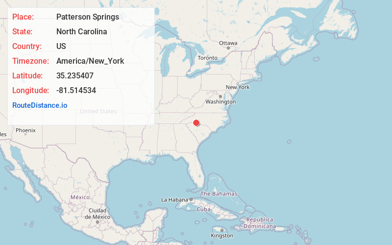
Full AddressPatterson Springs, NC
-
Coordinates35.235407, -81.5145344
-
LocationPatterson Springs , North Carolina , US
-
TimezoneAmerica/New_York
-
Current Local Time1:54:08 AM America/New_YorkWednesday, June 18, 2025
-
Page Views0
About Patterson Springs
Patterson Springs is a town in Cleveland County, North Carolina, United States. The population was 622 at the 2010 census.
Nearby Places
Found 10 places within 50 miles

Shelby
4.1 mi
6.6 km
Shelby, NC
Get directions

Blacksburg
7.9 mi
12.7 km
Blacksburg, SC 29702
Get directions

Boiling Springs
8.7 mi
14.0 km
Boiling Springs, NC 28152
Get directions

Kings Mountain
9.8 mi
15.8 km
Kings Mountain, NC
Get directions

Cherryville
12.5 mi
20.1 km
Cherryville, NC 28021
Get directions
East Gaffney
12.6 mi
20.3 km
East Gaffney, SC
Get directions

Bessemer City
13.5 mi
21.7 km
Bessemer City, NC 28016
Get directions

Gaffney
13.6 mi
21.9 km
Gaffney, SC
Get directions

Ellenboro
15.2 mi
24.5 km
Ellenboro, NC 28040
Get directions
Belwood
16.7 mi
26.9 km
Belwood, NC
Get directions
Location Links
Local Weather
Weather Information
Coming soon!
Location Map
Static map view of Patterson Springs, North Carolina
Browse Places by Distance
Places within specific distances from Patterson Springs
Short Distances
Long Distances
Click any distance to see all places within that range from Patterson Springs. Distances shown in miles (1 mile ≈ 1.61 kilometers).