Distance to Paulina, Oregon

Calculating Your Route
Just a moment while we process your request...
Location Information
-
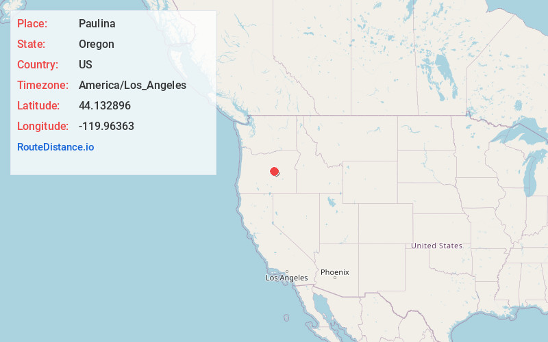
Full AddressPaulina, OR 97751
-
Coordinates44.1328962, -119.9636299
-
LocationPaulina , Oregon , US
-
TimezoneAmerica/Los_Angeles
-
Current Local Time8:33:22 PM America/Los_AngelesSaturday, June 21, 2025
-
Page Views0
About Paulina
Paulina is an unincorporated community in Crook County, Oregon, United States. It is about 55 miles east of Prineville on Oregon Route 380. It was named after Paiute Chief Paulina. Paulina post office was established in 1882.
Paulina has one K-8 grade school.


Nearby Places
Found 8 places within 50 miles

Juniper Canyon Reservoir
11.8 mi
19.0 km
Juniper Canyon Reservoir, Oregon 97752
Get directions

Dayville
31.4 mi
50.5 km
Dayville, OR 97825
Get directions

Mitchell
31.4 mi
50.5 km
Mitchell, OR 97750
Get directions

Hampton
34.5 mi
55.5 km
Hampton, OR 97712
Get directions

Prineville
44.6 mi
71.8 km
Prineville, OR
Get directions

Mt Vernon
46.4 mi
74.7 km
Mt Vernon, OR 97865
Get directions

Seneca
49.2 mi
79.2 km
Seneca, OR 97873
Get directions

Spray
49.2 mi
79.2 km
Spray, OR 97874
Get directions
Location Links
Local Weather
Weather Information
Coming soon!
Location Map
Static map view of Paulina, Oregon
Browse Places by Distance
Places within specific distances from Paulina
Short Distances
Long Distances
Click any distance to see all places within that range from Paulina. Distances shown in miles (1 mile ≈ 1.61 kilometers).