Distance to Paw Paw Township, Illinois

Calculating Your Route
Just a moment while we process your request...
Location Information
-
Full AddressPaw Paw Township, IL
-
Coordinates41.6556367, -88.8838834
-
LocationPaw Paw Township , Illinois , US
-
TimezoneAmerica/Chicago
-
Current Local Time4:26:56 AM America/ChicagoMonday, June 16, 2025
-
Page Views0
About Paw Paw Township
Paw Paw Township is one of nineteen townships in DeKalb County, Illinois, USA. As of the 2020 census, its population was 345 and it contained 130 housing units.
Nearby Places
Found 10 places within 50 miles

Rollo
1.2 mi
1.9 km
Rollo, IL 60518
Get directions

Radley
3.2 mi
5.1 km
Radley, IL 60518
Get directions

Earlville
5.0 mi
8.0 km
Earlville, IL 60518
Get directions

Leland
5.3 mi
8.5 km
Leland, IL 60531
Get directions
Shabbona Grove
5.5 mi
8.9 km
Shabbona Grove, Shabbona Township, IL 60550
Get directions

Paw Paw
5.5 mi
8.9 km
Paw Paw, IL 61353
Get directions
Victor Township
6.5 mi
10.5 km
Victor Township, IL
Get directions

Shabbona
7.8 mi
12.6 km
Shabbona, IL 60550
Get directions

Baker
7.9 mi
12.7 km
Baker, IL 60531
Get directions
Roxbury
8.6 mi
13.8 km
Roxbury, Wyoming Township, IL 60553
Get directions
Location Links
Local Weather
Weather Information
Coming soon!
Location Map
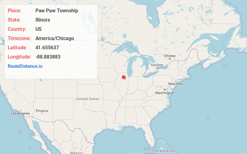
Static map view of Paw Paw Township, Illinois
Browse Places by Distance
Places within specific distances from Paw Paw Township
Short Distances
Long Distances
Click any distance to see all places within that range from Paw Paw Township. Distances shown in miles (1 mile ≈ 1.61 kilometers).