Distance to Pawnee County, Kansas

Calculating Your Route
Just a moment while we process your request...
Location Information
-
Full AddressPawnee County, KS
-
Coordinates38.2017581, -99.2785583
-
LocationKansas , US
-
TimezoneAmerica/Chicago
-
Current Local Time10:30:35 AM America/ChicagoFriday, May 30, 2025
-
Page Views0
About Pawnee County
Pawnee County is a county located in the U.S. state of Kansas. Its county seat and largest city is Larned. As of the 2020 census, the county population was 6,253. The county is named after the Pawnee tribe.

Nearby Places
Found 10 places within 50 miles

Sanford
2.4 mi
3.9 km
Sanford, Morton Township, KS 67550
Get directions
Frizell
4.3 mi
6.9 km
Frizell, Santa Fe Township, KS 67550
Get directions
Bert Wettar
4.9 mi
7.9 km
Bert Wettar, Grant Township, KS 67550
Get directions

Rozel
6.8 mi
10.9 km
Rozel, KS 67574
Get directions
Ash Valley
7.9 mi
12.7 km
Ash Valley, KS 67550
Get directions
Hamburg
7.9 mi
12.7 km
Hamburg, Santa Fe Township, KS 67550
Get directions
Garfield
8.8 mi
14.2 km
Garfield, KS 67529
Get directions
Vaughn
9.6 mi
15.4 km
Vaughn, Conkling Township, KS 67575
Get directions
Larned
9.9 mi
15.9 km
Larned, KS 67550
Get directions

Burdett
13.5 mi
21.7 km
Burdett, KS 67523
Get directions
Location Links
Local Weather
Weather Information
Coming soon!
Location Map
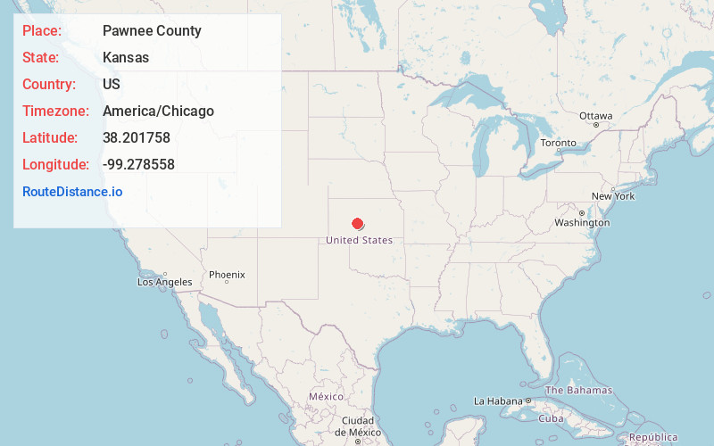
Static map view of Pawnee County, Kansas
Browse Places by Distance
Places within specific distances from Pawnee County
Short Distances
Long Distances
Click any distance to see all places within that range from Pawnee County. Distances shown in miles (1 mile ≈ 1.61 kilometers).