Distance to Paxton, Kansas

Calculating Your Route
Just a moment while we process your request...
Location Information
-
Full AddressPaxton, Halstead Township, KS 67020
-
Coordinates38.0139003, -97.5919876
-
LocationHalstead Township , Kansas , US
-
TimezoneAmerica/Chicago
-
Current Local Time6:50:09 AM America/ChicagoSunday, June 15, 2025
-
Page Views0
Nearby Places
Found 10 places within 50 miles

Halstead
4.7 mi
7.6 km
Halstead, KS 67056
Get directions

Patterson
6.0 mi
9.7 km
Patterson, Lake Township, KS 67020
Get directions
Van Arsdale
9.0 mi
14.5 km
Van Arsdale, Sedgwick Township, KS 67114
Get directions

Bentley
9.8 mi
15.8 km
Bentley, KS
Get directions

Mt Hope
10.8 mi
17.4 km
Mt Hope, KS
Get directions
Sedgwick
11.3 mi
18.2 km
Sedgwick, KS 67135
Get directions
Putnam
11.5 mi
18.5 km
Putnam, Sedgwick Township, KS 67135
Get directions
McGraw
12.2 mi
19.6 km
McGraw, Newton Township, KS 67114
Get directions

Hesston
12.3 mi
19.8 km
Hesston, KS 67062
Get directions

Buhler
12.8 mi
20.6 km
Buhler, KS 67522
Get directions
Location Links
Local Weather
Weather Information
Coming soon!
Location Map
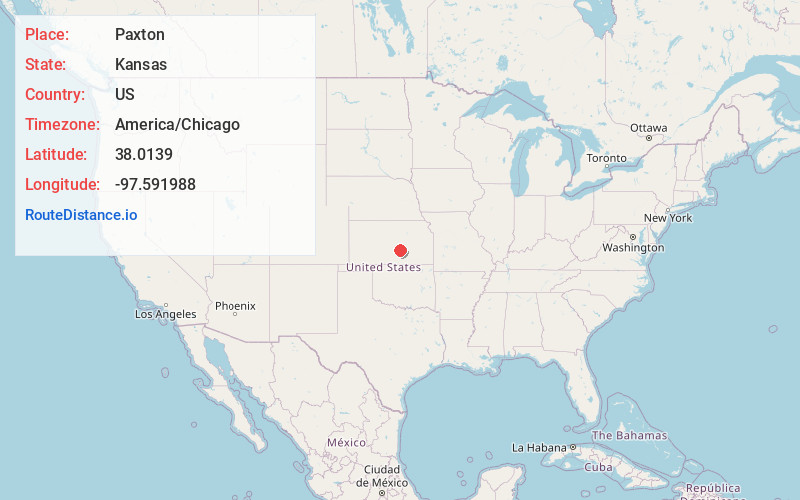
Static map view of Paxton, Kansas
Browse Places by Distance
Places within specific distances from Paxton
Short Distances
Long Distances
Click any distance to see all places within that range from Paxton. Distances shown in miles (1 mile ≈ 1.61 kilometers).