Distance to Payne Springs, Texas

Calculating Your Route
Just a moment while we process your request...
Location Information
-
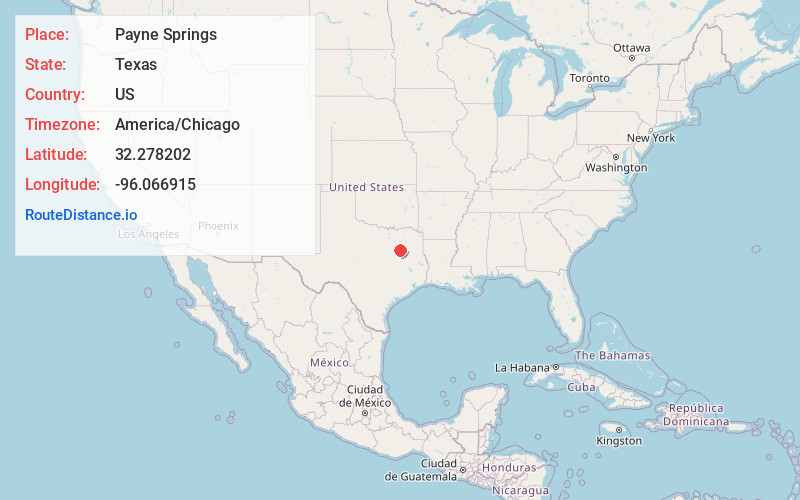
Full AddressPayne Springs, TX
-
Coordinates32.2782024, -96.0669152
-
LocationPayne Springs , Texas , US
-
TimezoneAmerica/Chicago
-
Current Local Time1:45:27 PM America/ChicagoSaturday, June 14, 2025
-
Page Views0
About Payne Springs
Payne Springs is a town in Henderson County, Texas, United States. The population was 741 at the 2020 census, down from 767 at the 2010 census.


Nearby Places
Found 10 places within 50 miles

Eustace
4.0 mi
6.4 km
Eustace, TX 75124
Get directions

Log Cabin
4.7 mi
7.6 km
Log Cabin, TX 75148
Get directions

Tool
6.1 mi
9.8 km
Tool, TX 75143
Get directions

Gun Barrel City
6.1 mi
9.8 km
Gun Barrel City, TX
Get directions

Mabank
6.4 mi
10.3 km
Mabank, TX
Get directions

Malakoff
8.2 mi
13.2 km
Malakoff, TX
Get directions

Seven Points
9.0 mi
14.5 km
Seven Points, TX 75143
Get directions

Trinidad
9.4 mi
15.1 km
Trinidad, TX
Get directions

Athens
13.4 mi
21.6 km
Athens, TX
Get directions

Kerens
13.7 mi
22.0 km
Kerens, TX 75144
Get directions
Location Links
Local Weather
Weather Information
Coming soon!
Location Map
Static map view of Payne Springs, Texas
Browse Places by Distance
Places within specific distances from Payne Springs
Short Distances
Long Distances
Click any distance to see all places within that range from Payne Springs. Distances shown in miles (1 mile ≈ 1.61 kilometers).