Distance to Tool, Texas

Calculating Your Route
Just a moment while we process your request...
Location Information
-
Full AddressTool, TX 75143
-
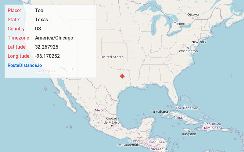
Coordinates32.2679247, -96.170252
-
LocationTool , Texas , US
-
TimezoneAmerica/Chicago
-
Current Local Time10:36:15 AM America/ChicagoFriday, June 20, 2025
-
Page Views0
About Tool
Tool is a city in Henderson County, Texas, United States. The population was 2,175 at the 2020 census. Located on the west side of Cedar Creek Lake, it is a popular second home and retiree destination.

Nearby Places
Found 10 places within 50 miles

Gun Barrel City
4.5 mi
7.2 km
Gun Barrel City, TX
Get directions

Mabank
7.9 mi
12.7 km
Mabank, TX
Get directions

Athens
18.9 mi
30.4 km
Athens, TX
Get directions

Corsicana
21.1 mi
34.0 km
Corsicana, TX
Get directions

Kaufman
23.6 mi
38.0 km
Kaufman, TX
Get directions

Canton
26.8 mi
43.1 km
Canton, TX 75103
Get directions

Ennis
26.9 mi
43.3 km
Ennis, TX
Get directions

Combine
29.7 mi
47.8 km
Combine, TX 75159
Get directions

Crandall
29.9 mi
48.1 km
Crandall, TX 75114
Get directions

Palmer
31.2 mi
50.2 km
Palmer, TX 75152
Get directions
Location Links
Local Weather
Weather Information
Coming soon!
Location Map
Static map view of Tool, Texas
Browse Places by Distance
Places within specific distances from Tool
Short Distances
Long Distances
Click any distance to see all places within that range from Tool. Distances shown in miles (1 mile ≈ 1.61 kilometers).