Distance to Peanut, Arkansas

Calculating Your Route
Just a moment while we process your request...
Location Information
-
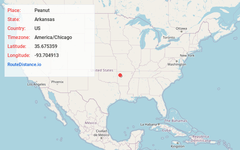
Full AddressPeanut, AR 72949
-
Coordinates35.675359, -93.7049134
-
LocationArkansas , US
-
TimezoneAmerica/Chicago
-
Current Local Time5:37:57 PM America/ChicagoSunday, June 1, 2025
-
Page Views0
Nearby Places
Found 10 places within 50 miles

Beach Grove
2.1 mi
3.4 km
Beach Grove, AR 72949
Get directions
Mountain Top
3.8 mi
6.1 km
Mountain Top, AR 72949
Get directions

West Cobb
4.5 mi
7.2 km
West Cobb, AR 72949
Get directions
Batson
4.9 mi
7.9 km
Batson, AR 72852
Get directions
Friley
5.7 mi
9.2 km
Friley, AR 72752
Get directions

Cass
6.5 mi
10.5 km
Cass, AR 72949
Get directions
Barnes
7.1 mi
11.4 km
Barnes, AR 72949
Get directions

Oark
7.5 mi
12.1 km
Oark, AR
Get directions

Horsehead Lake
9.1 mi
14.6 km
Horsehead Lake, Arkansas 72830
Get directions
Dutton
9.8 mi
15.8 km
Dutton, AR 72760
Get directions
Location Links
Local Weather
Weather Information
Coming soon!
Location Map
Static map view of Peanut, Arkansas
Browse Places by Distance
Places within specific distances from Peanut
Short Distances
Long Distances
Click any distance to see all places within that range from Peanut. Distances shown in miles (1 mile ≈ 1.61 kilometers).