Distance to Peel, Oregon

Calculating Your Route
Just a moment while we process your request...
Location Information
-
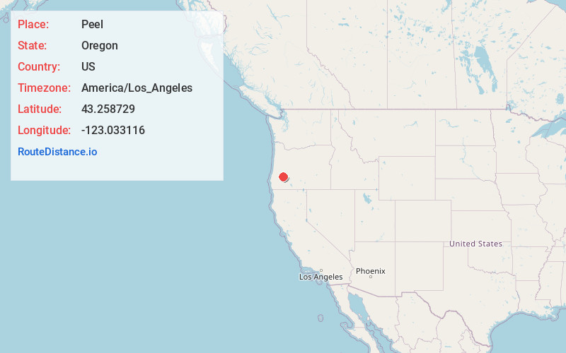
Full AddressPeel, OR 97443
-
Coordinates43.258729, -123.0331164
-
LocationPeel , Oregon , US
-
TimezoneAmerica/Los_Angeles
-
Current Local Time5:24:54 AM America/Los_AngelesSaturday, May 24, 2025
-
Page Views0
About Peel
Peel is an unincorporated community in Douglas County, Oregon, United States. It is located about six miles southeast of Glide near the Little River.
Peel post office was established in 1888 and named for congressman Samuel W. Peel of Arkansas.
Nearby Places
Found 10 places within 50 miles

Glide
4.5 mi
7.2 km
Glide, OR
Get directions

Fair Oaks
14.2 mi
22.9 km
Fair Oaks, OR
Get directions

Roseburg
15.8 mi
25.4 km
Roseburg, OR
Get directions

Roseburg North
15.8 mi
25.4 km
Roseburg North, OR
Get directions

Sutherlin
16.7 mi
26.9 km
Sutherlin, OR
Get directions

Oakland
17.5 mi
28.2 km
Oakland, OR 97462
Get directions

Green
18.2 mi
29.3 km
Green, OR 97471
Get directions
Riversdale
19.5 mi
31.4 km
Riversdale, OR 97471
Get directions

Days Creek
21.0 mi
33.8 km
Days Creek, OR
Get directions

Myrtle Creek
21.1 mi
34.0 km
Myrtle Creek, OR 97457
Get directions
Location Links
Local Weather
Weather Information
Coming soon!
Location Map
Static map view of Peel, Oregon
Browse Places by Distance
Places within specific distances from Peel
Short Distances
Long Distances
Click any distance to see all places within that range from Peel. Distances shown in miles (1 mile ≈ 1.61 kilometers).